Photos
Created by Copilot AI and may not be accurate. Awaiting review
| Built | 1939 by Thomas Oldfield, Jack Oldfield & Henry Tyrie |
| Condition | ★★★☆☆ (restored; chimney pending rebuild) |
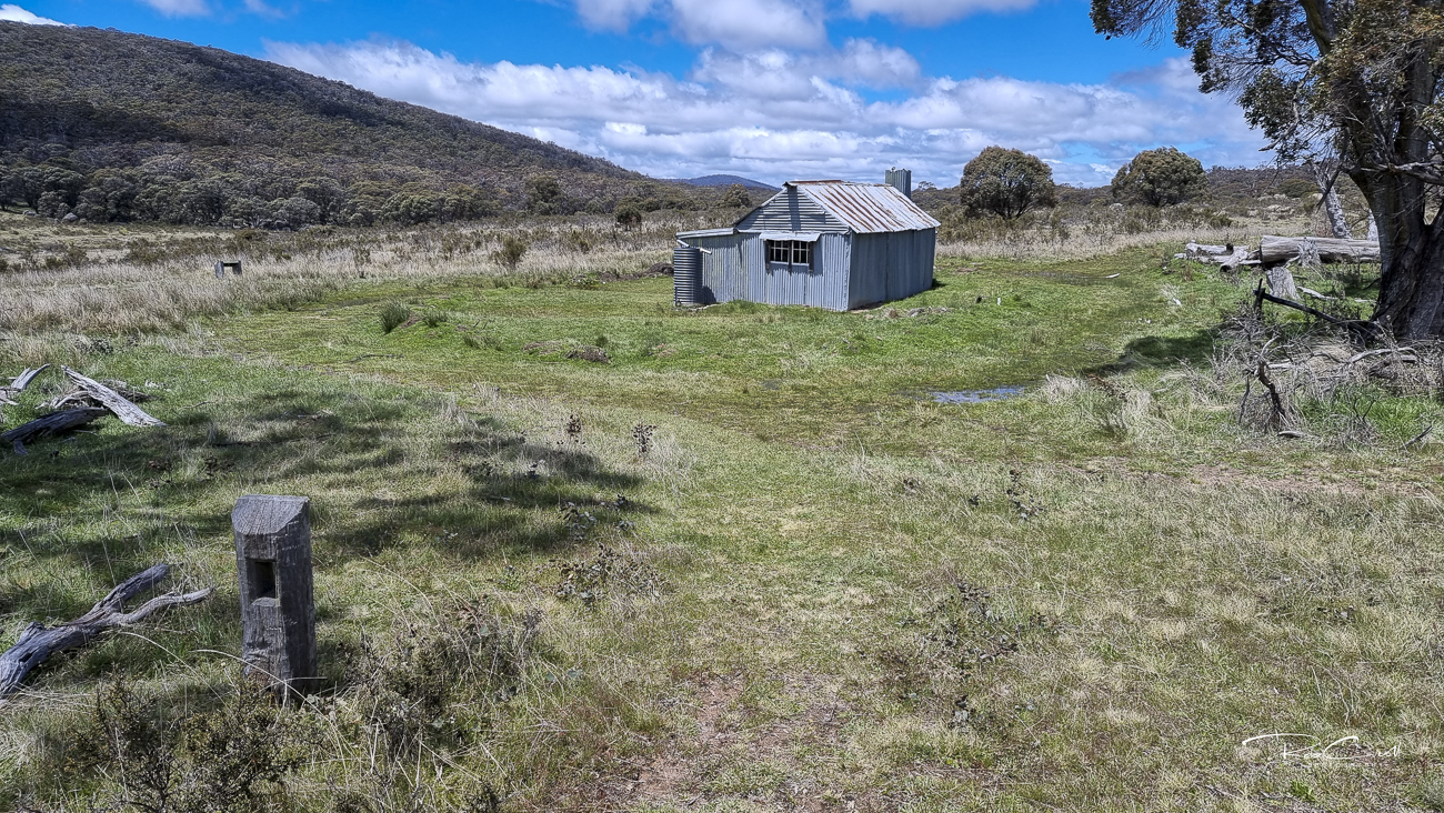
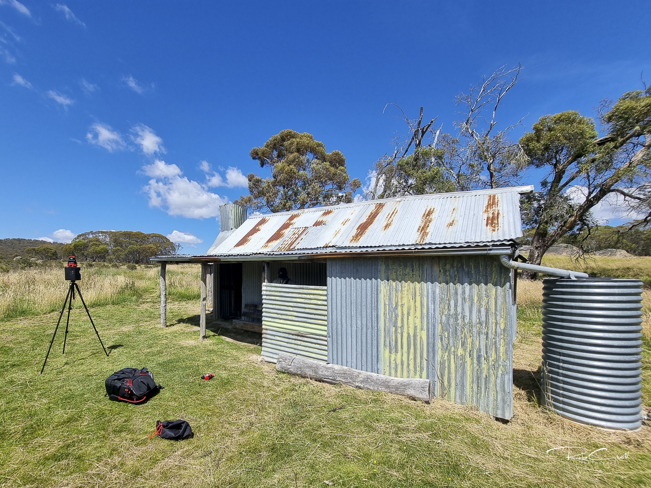
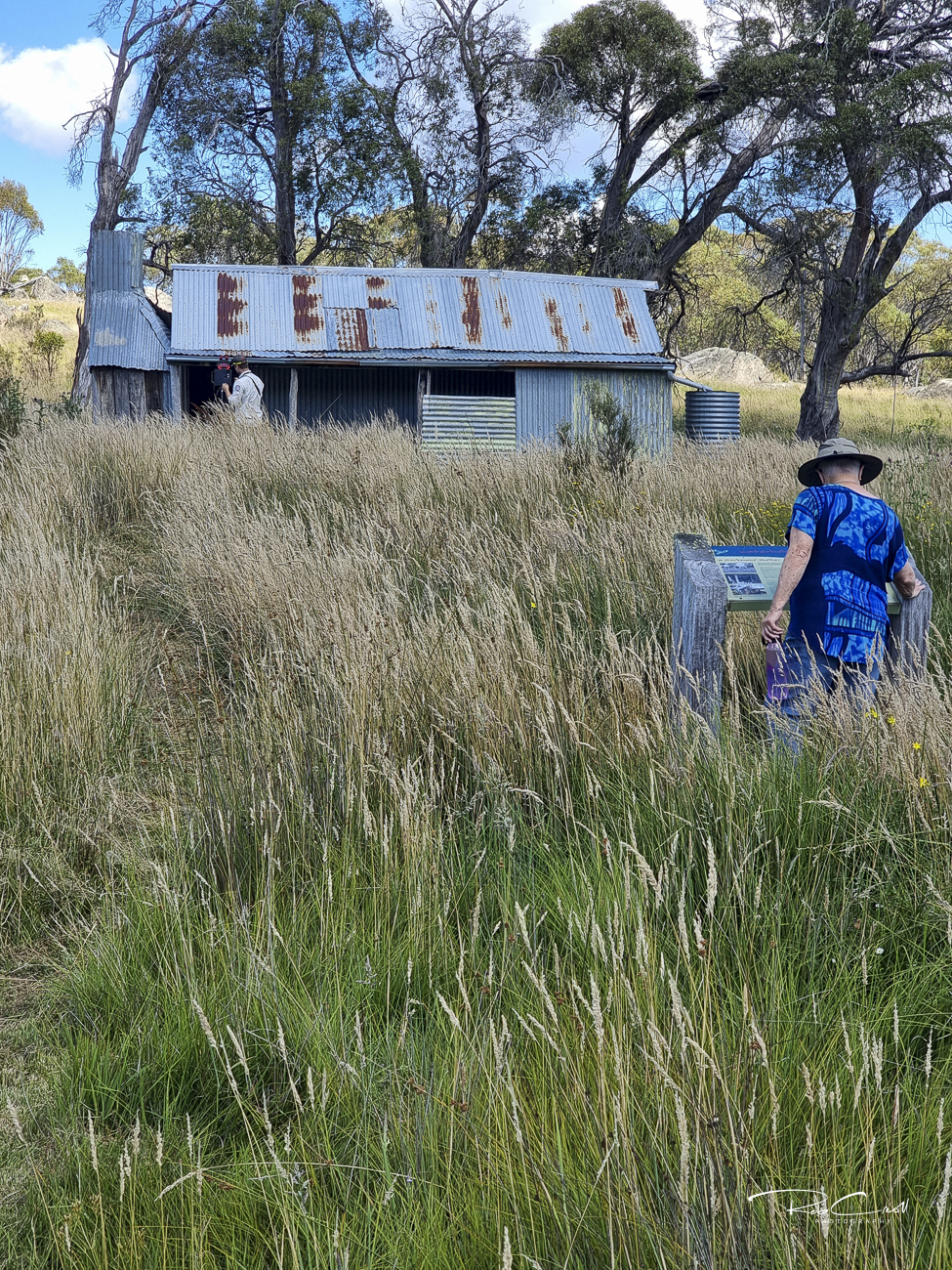
| Location | Namadgi National Park, upstream from Westermans on Grassy Creek |
| Alternate Names | Upper Grassy Creek Hut, Oldfields Hut |
| 1939 | Constructed using salvaged materials from nearby homestead ruins |
| 1940s | Extended and used for grazing and shelter |
| 2004–2005 | Restored by KHA and caretakers; chimney collapsed and slated for rebuild |
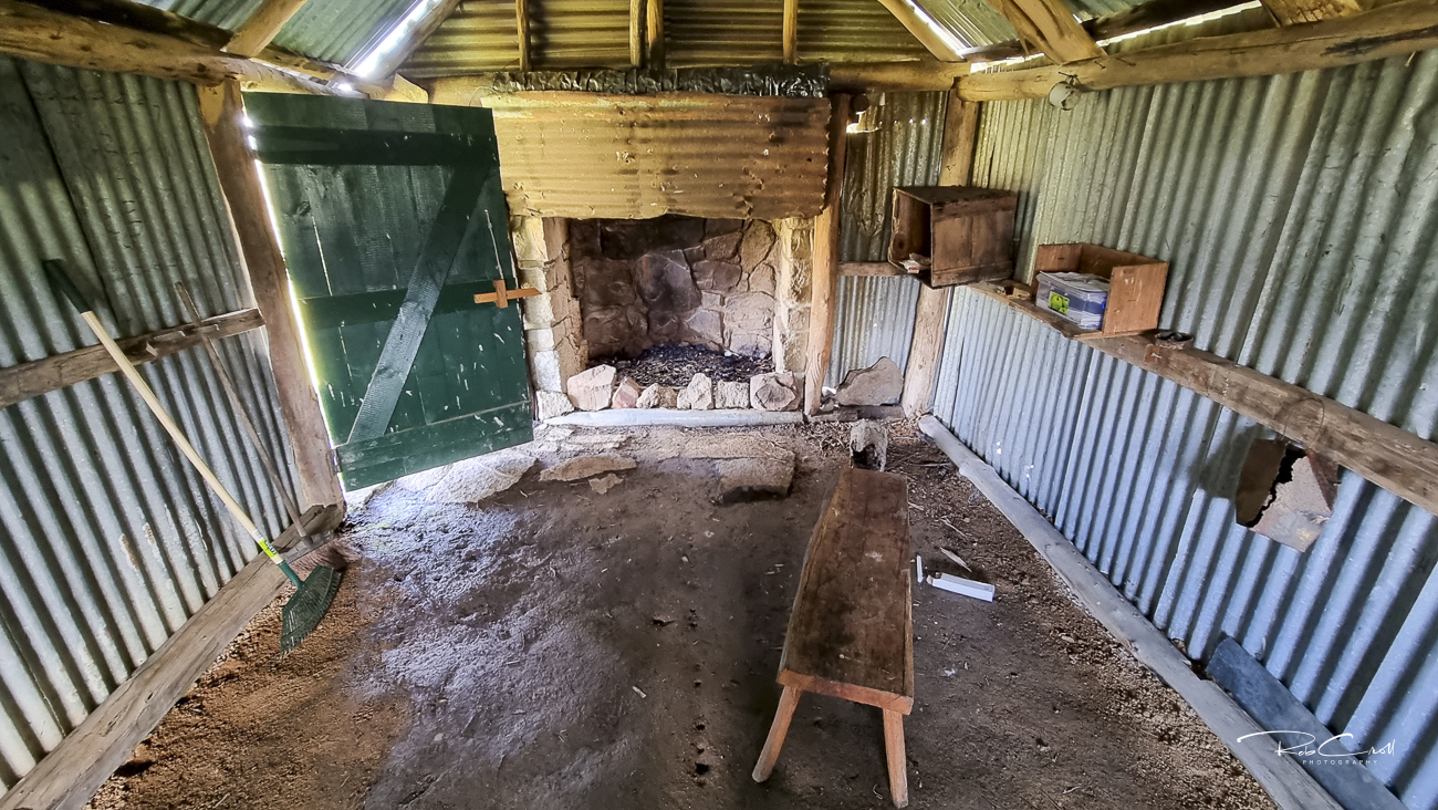
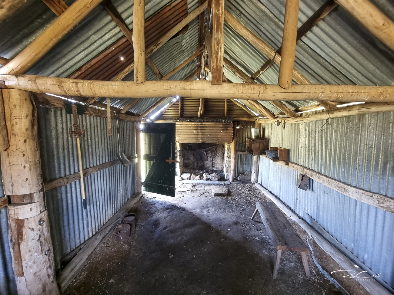
Waterhole Hut was built in 1939 by Thomas and Jack Oldfield with help from Henry Tyrie, using salvaged materials from an earlier homestead occupied by Francis Dwyer and Thomas Westerman’s mother. Stones from the ruined chimney were reused to form the base of Waterhole’s fireplace.
The hut supported grazing in the Grassy Creek valley and was extended in the 1940s. Nearby stockyards incorporate large granite boulders and remain a unique feature of the site. The hut is part of the Namadgi Historic Homestead Triangle alongside Brayshaws and Westermans.
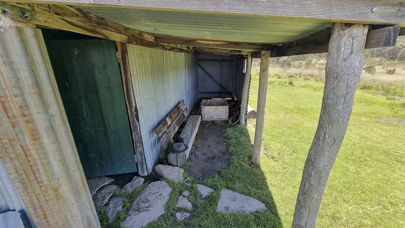
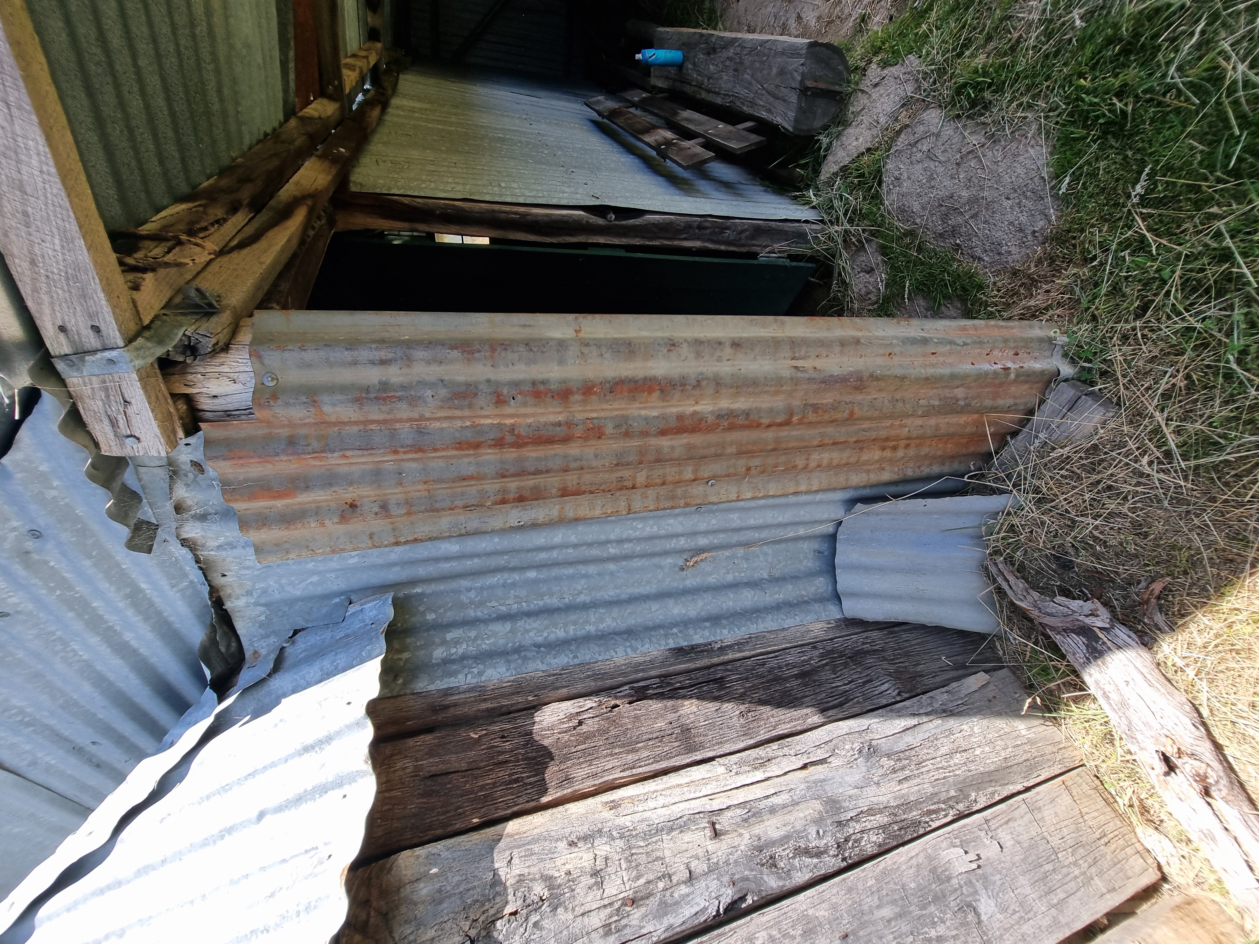
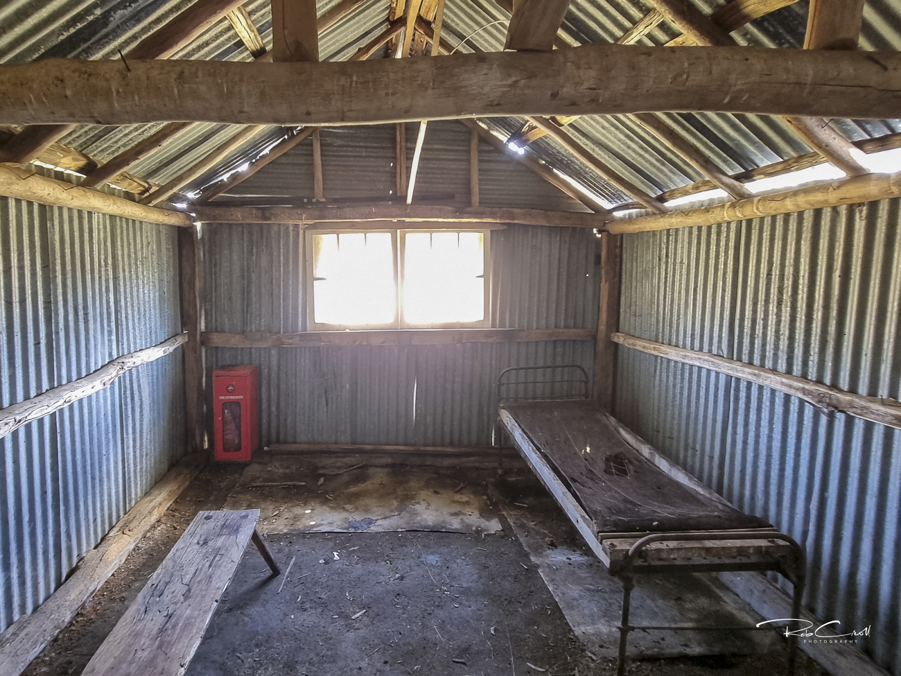
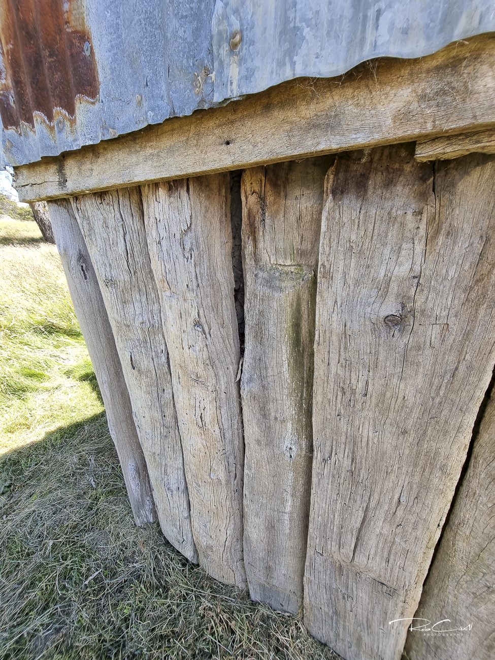
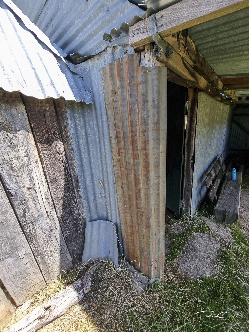
Waterhole Hut is a simple iron structure with a dirt floor, timber frame, and external corrugated iron chimney lined with mud-mortared granodiorite blocks. The frame includes salvaged fence rails and machine-sawn timber. The original timber floor may be reinstated in future restoration efforts.
The chimney has collapsed and is awaiting rebuild. No toilet or water source is present. The hut is not visible from the fire trail — access is easiest by following Grassy Creek upstream from the old yards.
Waterhole Hut is listed in the KHA Namadgi register as site 1704. It is documented in the Gudgenby Archaeological Register (Site B19) and Sites of Significance in the ACT (Site G38). Restoration was completed in 2005, and further work is planned to rebuild the chimney and floor.
The hut is monitored by ACT Parks and supported by KHA volunteers. Interpretive signage is recommended to highlight its grazing legacy, reuse of homestead materials, and unique granite stockyards. Visitors should follow Grassy Creek upstream from Westermans and avoid disturbing the fragile chimney base.