Photos
Created by Copilot AI and may not be accurate. Awaiting review
| Built | 1860s by the Westerman family |
| Condition | ★★★☆☆ (partially restored; heritage listed) |
| Location | Brindabella National Park, NSW – Sherwood Road |
| Alternate Names | Sherwood Hut, Westermans NSW |
| 1860s | Constructed by the Westerman family for grazing and residence |
| 1900s–1950s | Used seasonally for grazing and timber work |
| 1980s–Present | Restoration and conservation efforts by NSW Parks and volunteers |
Sherwood Homestead was built in the 1860s by the Westerman family, early settlers in the Brindabella Valley. It served as a residence and grazing base, and is one of the oldest surviving slab structures in the region. The homestead was used seasonally for timber work and stock shelter well into the mid-20th century.
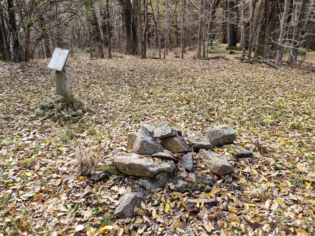
The site is now part of Brindabella National Park and is accessible via Sherwood Road. It remains a quiet waypoint for walkers and 4WD visitors, with interpretive signage and partial restoration preserving its historical character.
The homestead is a timber slab structure with vertical boards, a corrugated iron roof, and stone fireplace. It includes two rooms and a covered verandah. Restoration has stabilized the walls and roof, though the interior remains rustic.
No toilet or water source is present. The site is dry and weatherproof, with views across the Brindabella Valley.
Sherwood Homestead is listed in the KHA Brindabella register as site 117385. It is monitored by NSW Parks and supported by KHA volunteers. The site is valued for its age, architectural integrity, and connection to early settlement in the Brindabella Ranges.
The homestead is informally maintained and accessible via Sherwood Road from Brindabella Road. Interpretive signage is recommended to highlight its grazing legacy, slab construction, and Westerman family history. Visitors should respect the site and avoid camping inside the structure.