Photos
Created by Copilot AI and may not be accurate. Awaiting review
| Built | Unknown (likely mid-20th century) |
| Condition | ★★★☆☆ (intact; basic shelter) |
| Location | Mount Werong, near Ruby Creek Mine walking track |
| Alternate Names | Mount Werong Hut |
| Mid-1900s | Likely constructed for forestry or mining support |
| Late 20th century | Used by bushwalkers and 4WD groups |
| Present | Maintained by NPWS as emergency shelter |
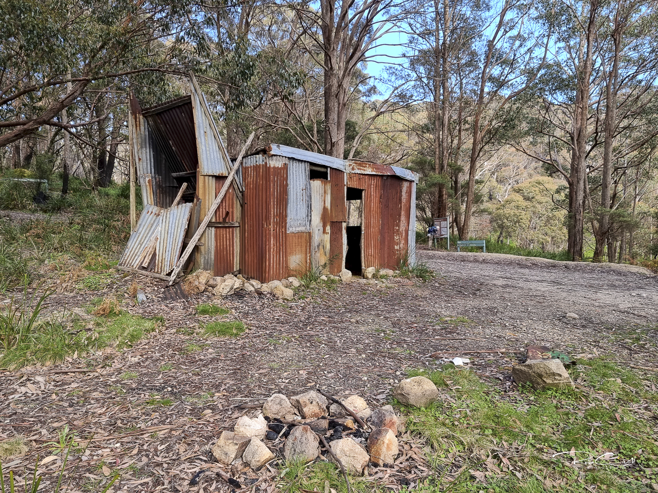
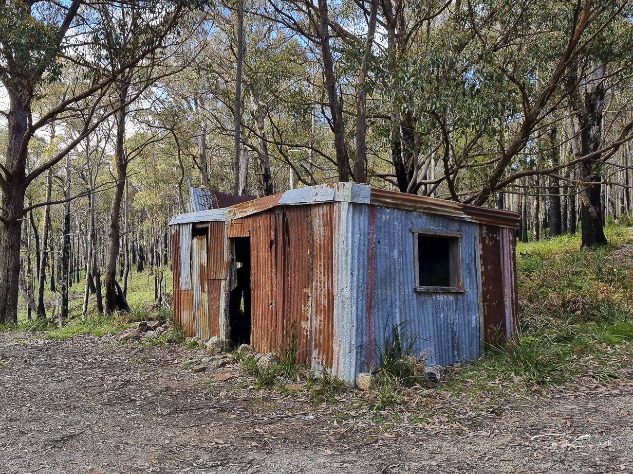
Ruby Creek Hut is located near the Mount Werong campground and adjacent to the Ruby Creek Mine walking track. The hut likely originated as a support structure for forestry or mining operations in the region, and now serves as a basic shelter for hikers and mountain bikers exploring the southern Blue Mountains.
The area is rich in both Aboriginal and European heritage, with remnants of early mining activity and traditional lands of the Gundungurra and Wiradjuri peoples nearby.
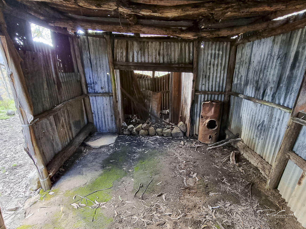
The hut is a stone and timber structure with multiple rooms, including a main shelter area with a fireplace. It features sealed plumbing remnants, a disused communications mast, and evidence of past power supply — suggesting it may have served as a forestry headquarters.
The structure is weatherproof and serviceable, though rustic. No toilet or water facilities are available inside the hut.
Ruby Creek Hut is listed in the KNP Plan of Management Schedule L.105 and holds KHA reference number 1216. It is maintained by NPWS as part of the Mount Werong campground precinct and serves as an emergency shelter for visitors to the area.
The hut is informally monitored by NPWS and bushwalkers. Interpretive signage is recommended to highlight its mining and forestry history, and its role in supporting remote recreation in the southern Blue Mountains.