Photos
Created by Copilot AI and may not be accurate. Awaiting review
| Built | Originally 1939; rebuilt 2008 after 2003 bushfires |
| Condition | ★★★★☆ (rebuilt; dry and weatherproof) |
| Location | Alpine National Park, VIC – near Mt Bogong, Staircase Spur |
| Alternate Names | None recorded |
| 1939 | Original hut built by the Roper family for grazing and shelter |
| 2003 | Destroyed in bushfires that swept through Mt Bogong region |
| 2008 | Rebuilt by volunteers and Parks Victoria using traditional materials |
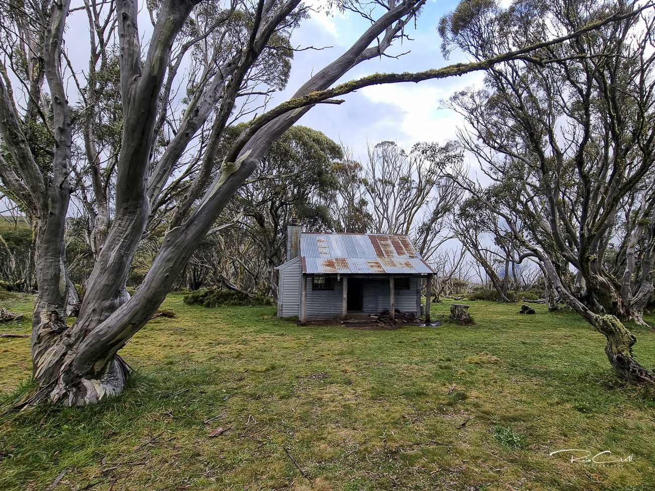
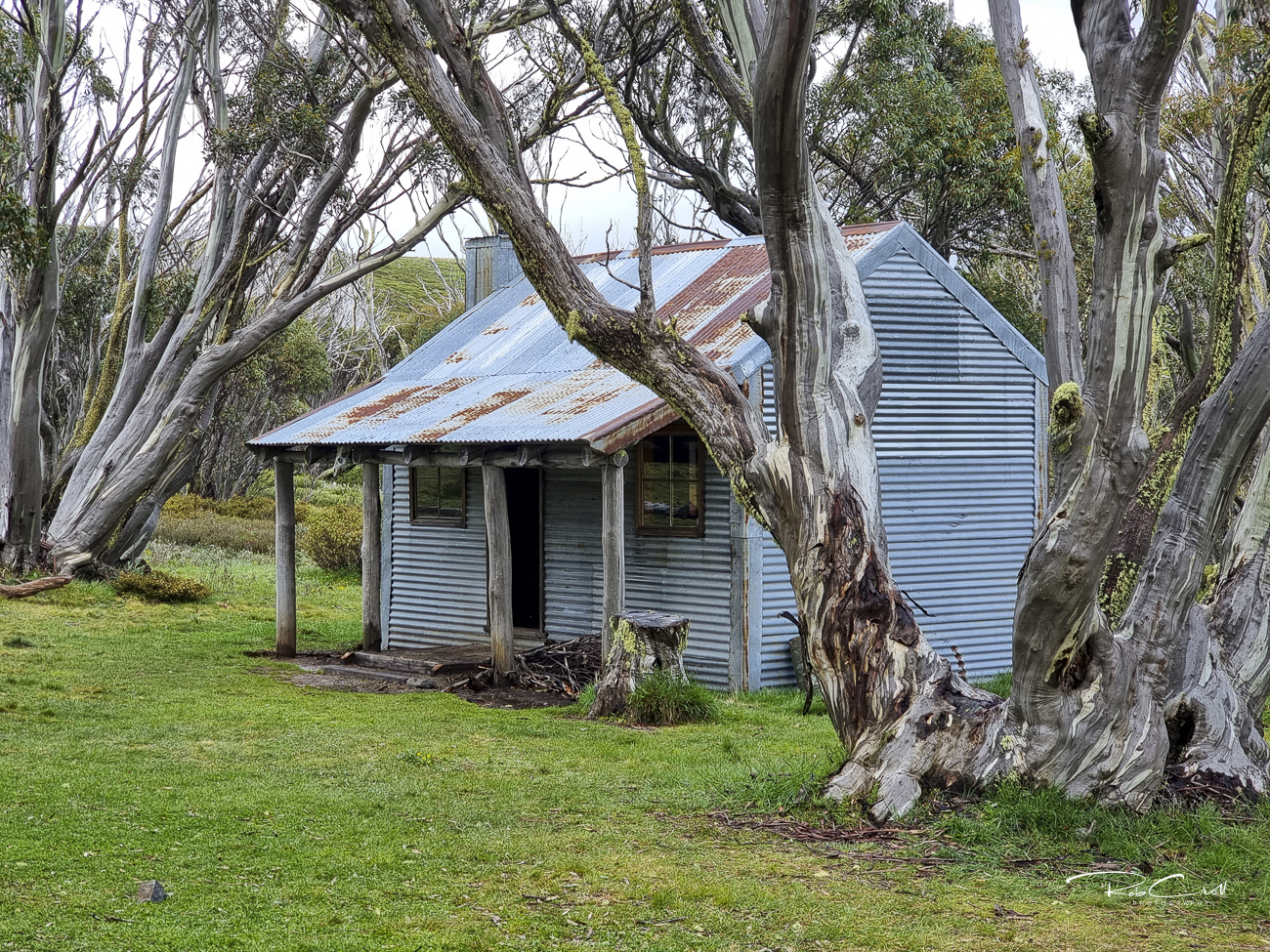
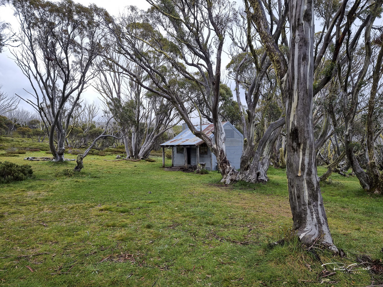
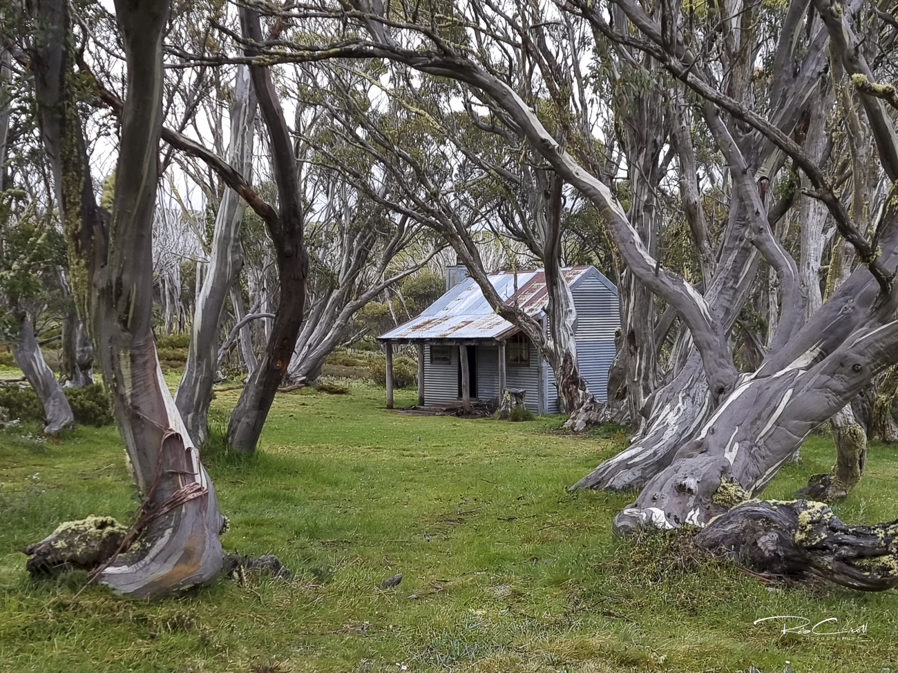
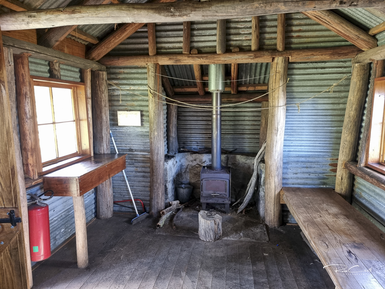
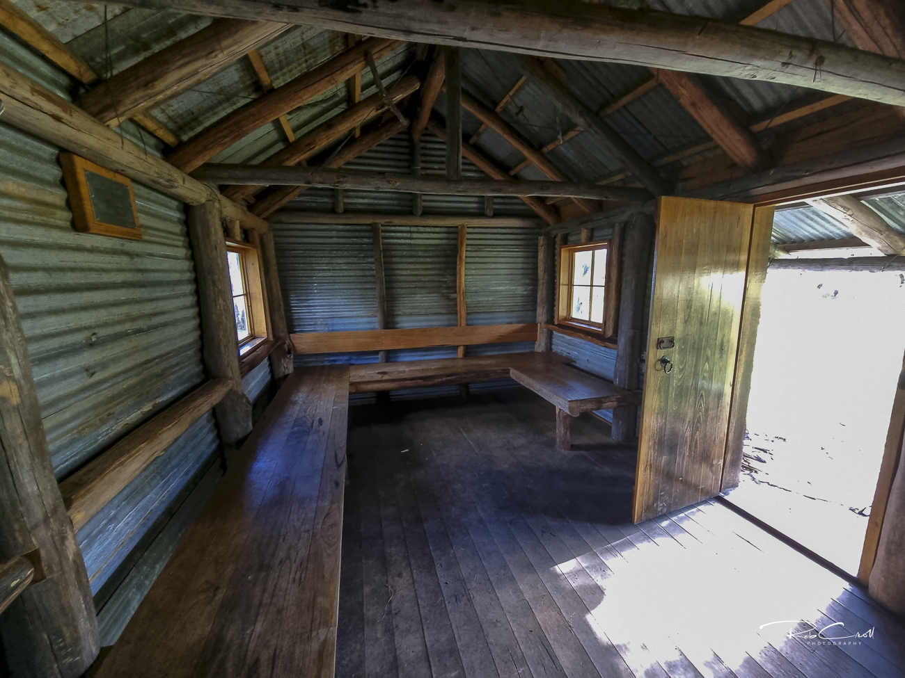
Ropers Hut was originally built in 1939 by the Roper family, who grazed cattle in the Bogong High Plains. Located near the Staircase Spur trail to Mt Bogong, the hut served as a vital shelter for stockmen and later for hikers and skiers. It was destroyed in the 2003 bushfires and rebuilt in 2008 using traditional alpine hut techniques.
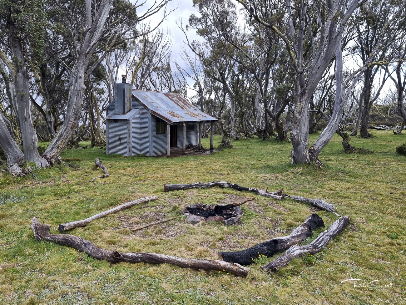
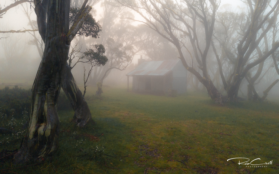
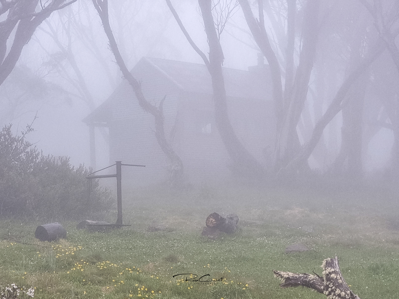
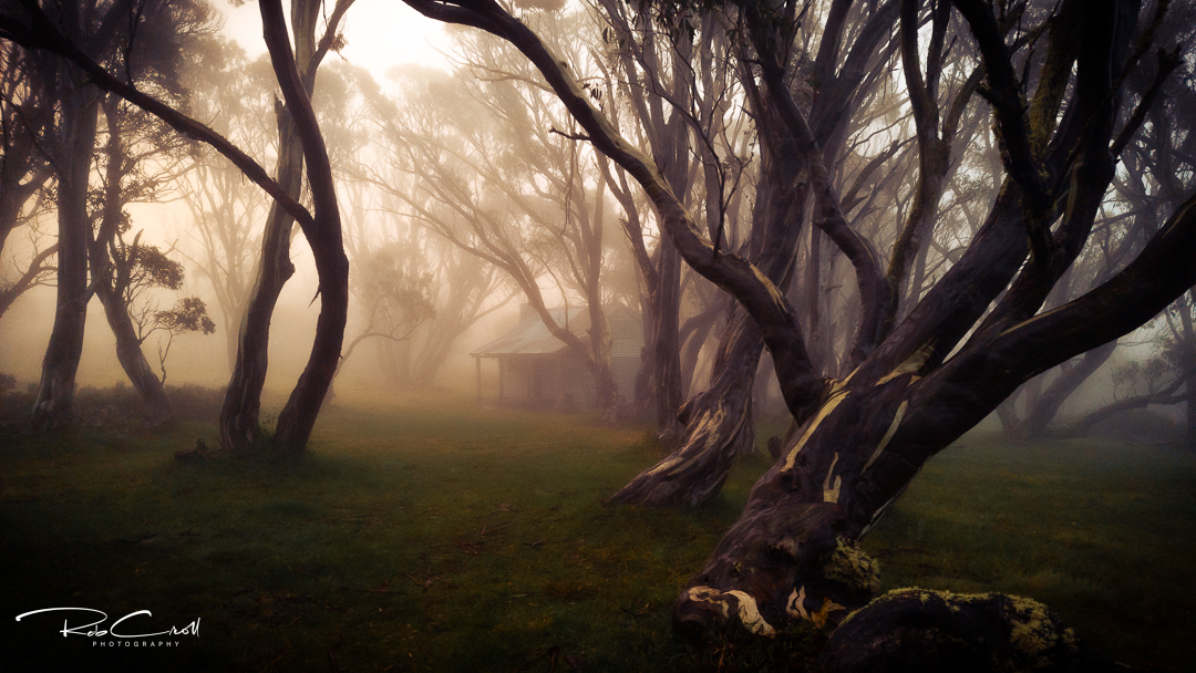
Today, Ropers Hut is a dry, weatherproof refuge for walkers tackling Victoria’s highest peak. It sits in a remote alpine saddle and is accessible only by foot, making it one of the most isolated huts in the Victorian Alps.
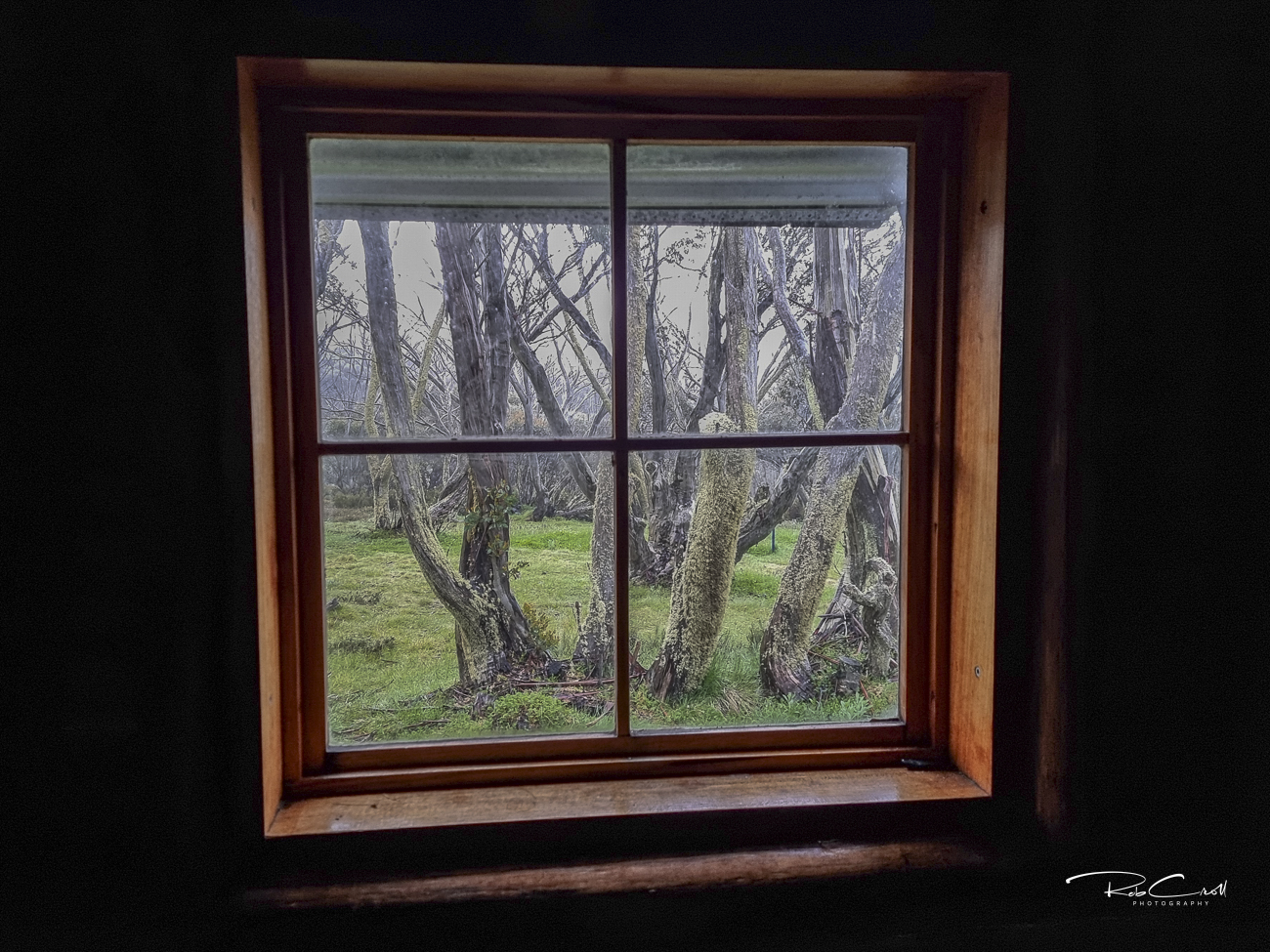
The rebuilt hut is a timber slab structure with a pitched corrugated iron roof, stone fireplace, and wooden floor. It includes bunks, a table, and basic furnishings. The hut is unlined but well insulated and designed to withstand alpine conditions.
No toilet or water source is present. Water may be available from nearby creeks but should be treated before use.
Ropers Hut is part of the Australian Alps National Parks Co-operative Management Program and is protected under Parks Victoria’s alpine hut conservation guidelines. It is maintained by volunteers and inspected regularly. Interpretive signage is recommended to highlight its grazing legacy and bushfire recovery.
Visitors are encouraged to respect the hut’s emergency-only status and avoid overnight stays unless necessary. Access is via Staircase Spur or Eskdale Spur from Mt Beauty or Mountain Creek. The site is remote and exposed — preparation is essential.