Photos
Created by Copilot AI and may not be accurate. Awaiting review
| Built | 1960s by the Rogers family |
| Condition | ★★★☆☆ (intact; rustic and dry) |
| Location | Howqua Hills Historic Area, VIC – near Refrigerator Gap |
| Alternate Names | None recorded |
| 1960s | Constructed by the Rogers family for grazing and recreation |
| 1980s–2000s | Used by bushwalkers and horse riders; maintained informally |
| Present | Preserved as a rustic shelter; accessible via 4WD or walking track |
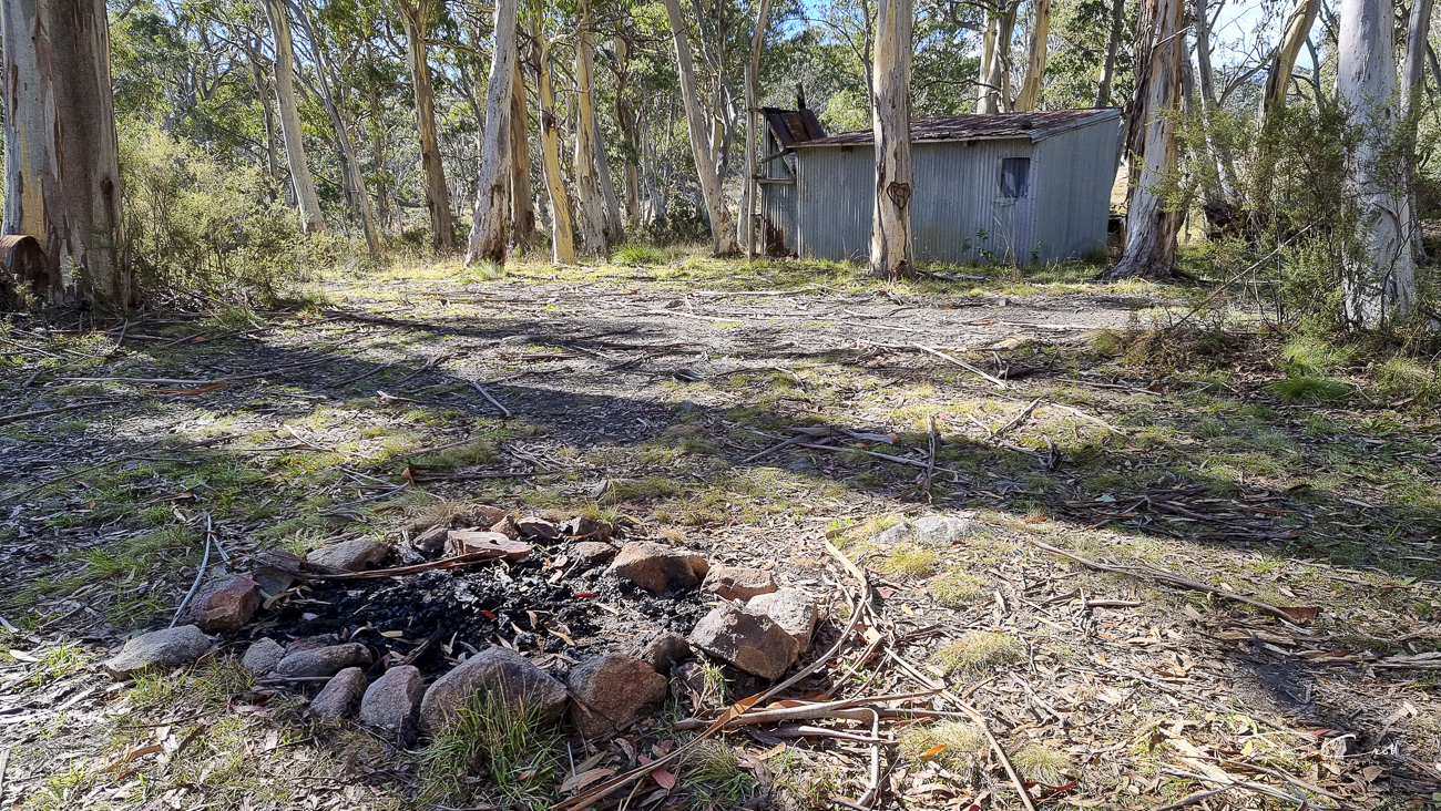
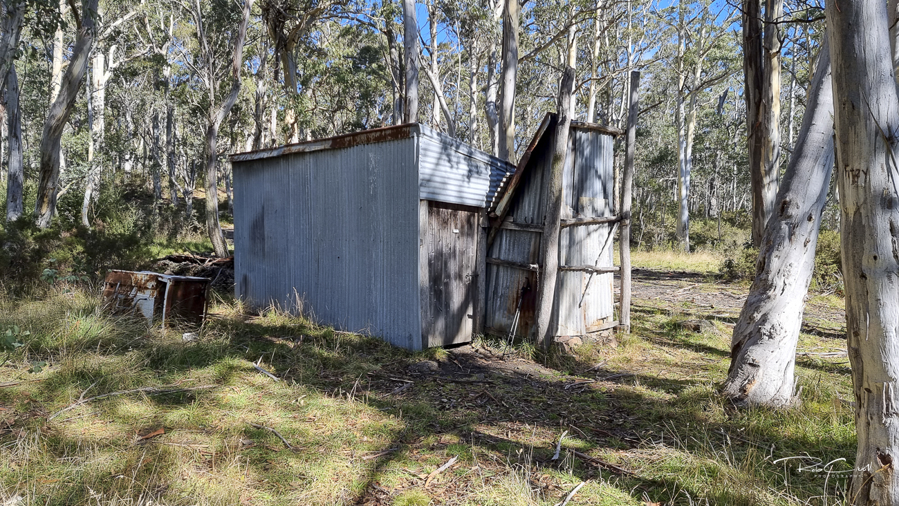
Rogers Hut was built in the 1960s by members of the Rogers family, who grazed cattle and camped in the Howqua Hills region. The hut sits near Refrigerator Gap and has long served as a waypoint for horse riders, bushwalkers, and 4WDers exploring the Howqua River corridor.
Though modest in scale, the hut is dry and weatherproof, offering shelter in changing alpine conditions. It remains one of several huts in the Howqua Hills Historic Area, alongside Ritchies, Bindaree, and Pikes Flat.
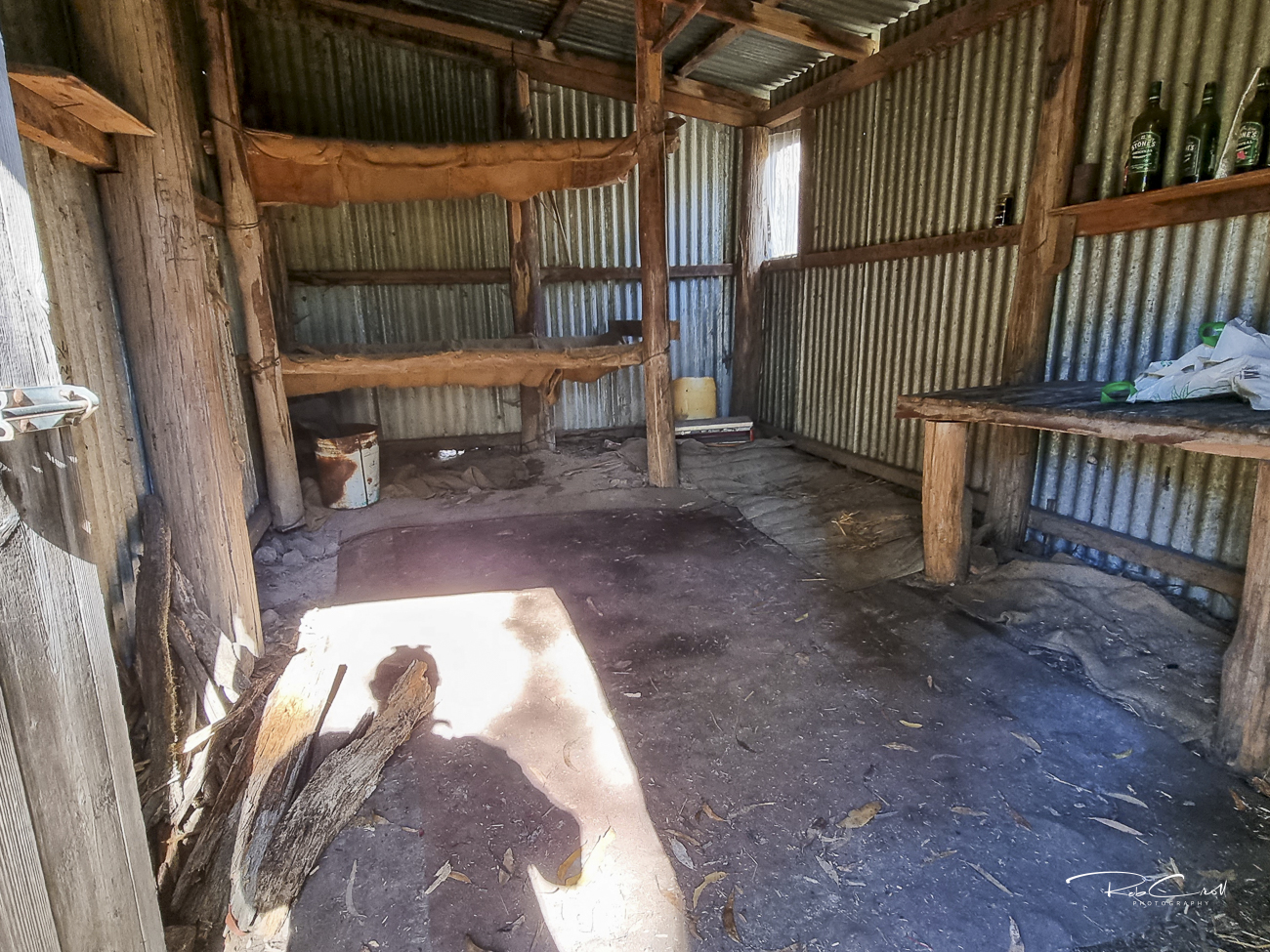
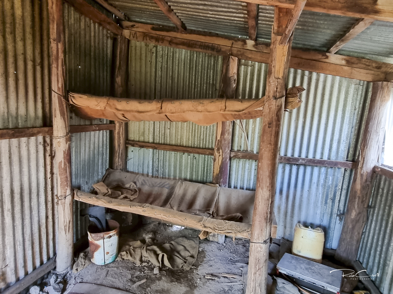
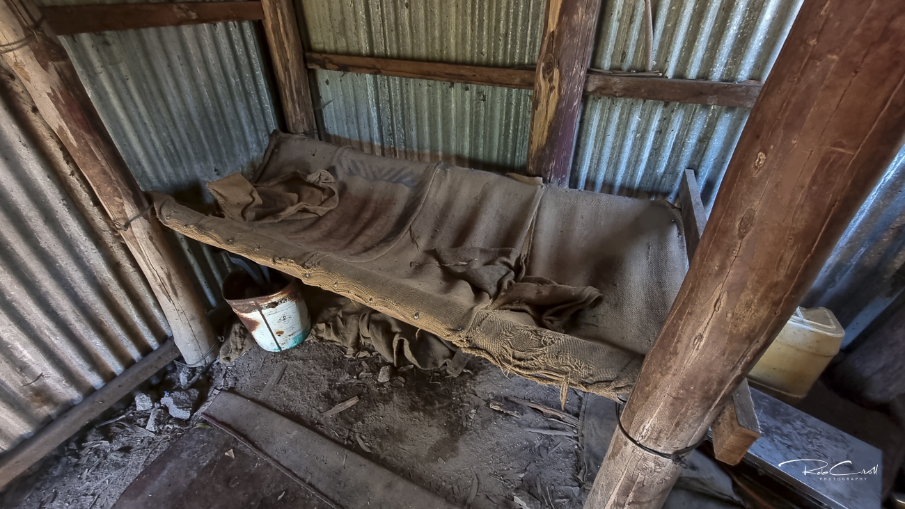
Rogers Hut is a timber-framed structure clad in corrugated iron, with a pitched roof, wooden floor, and stone fireplace. It includes basic furnishings and a small porch. The hut is unlined and rustic but dry and functional.
No toilet or water source is present. Visitors must be self-sufficient and prepared for remote conditions.
Rogers Hut is part of the Howqua Hills Historic Area and is monitored by Parks Victoria and local volunteers. It is not formally heritage listed but is valued for its grazing legacy and recreational use. Interpretive signage is recommended to highlight its family origins and role in the Howqua corridor.
The hut is accessible via Refrigerator Gap Track or by walking from Bindaree Road. Visitors are encouraged to respect the site and avoid overnight stays unless necessary. Seasonal closures may apply due to snow or fire risk.