Photos

Created by Copilot AI and may not be accurate. Awaiting review
| Built | 1952 by Lindsay Pryor and party |
| Condition | ★★★★☆ (intact; robust alpine shelter) |
| Location | Brindabella Range, near Mt Gingera and Little Ginini |
| Alternate Names | Botanic Gardens Hut, Annex Hut |
| 1952 | Constructed to support Alpine Botanic Garden annex |
| 1970s–Present | Used by walkers, skiers, and researchers |
| 1997 | Listed on ACT Heritage Register |
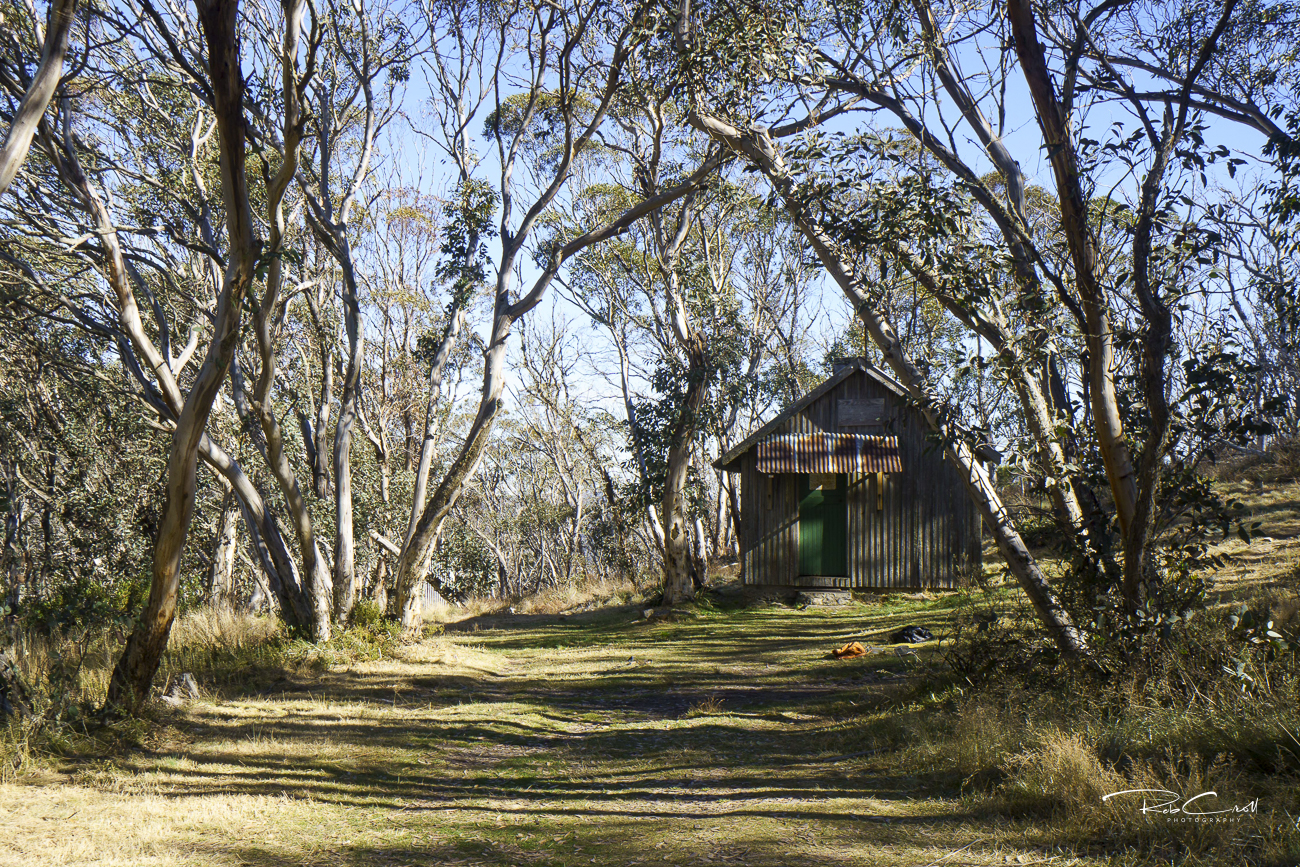
Pryors Hut was built in 1952 by Professor Lindsay Pryor, then Superintendent of Parks and Gardens, to support the Alpine Botanic Garden — an annex of the National Botanic Gardens. The hut provided shelter for researchers planting and tending alpine species in the exposed Brindabella Range.
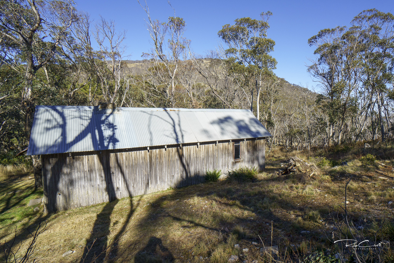
Located just north of Mt Gingera and south of Little Ginini, the hut sits a few metres inside NSW to avoid Cotter Catchment restrictions. It remains one of the most robust alpine shelters in the region and is a regular waypoint for Canberra walkers and skiers.
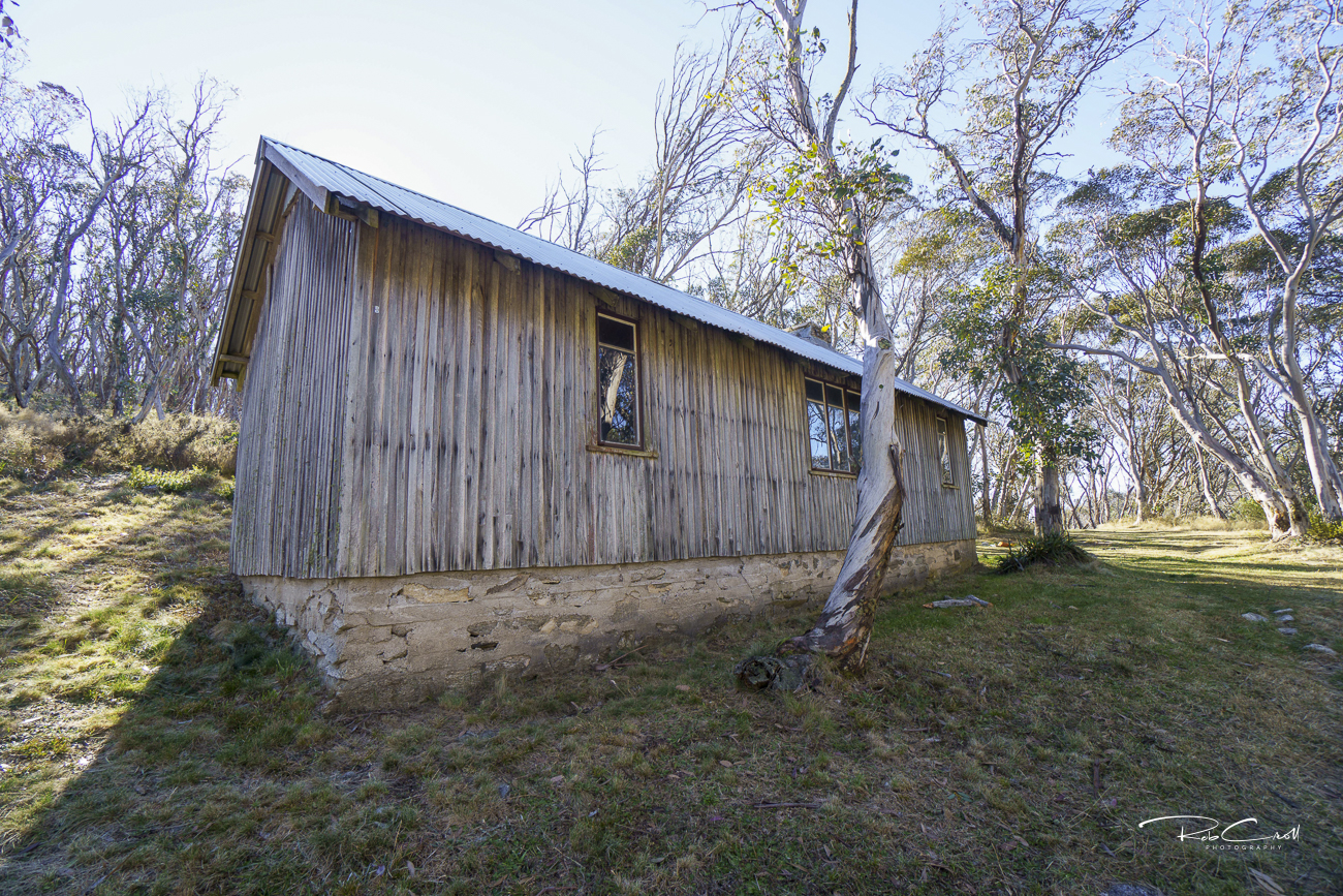
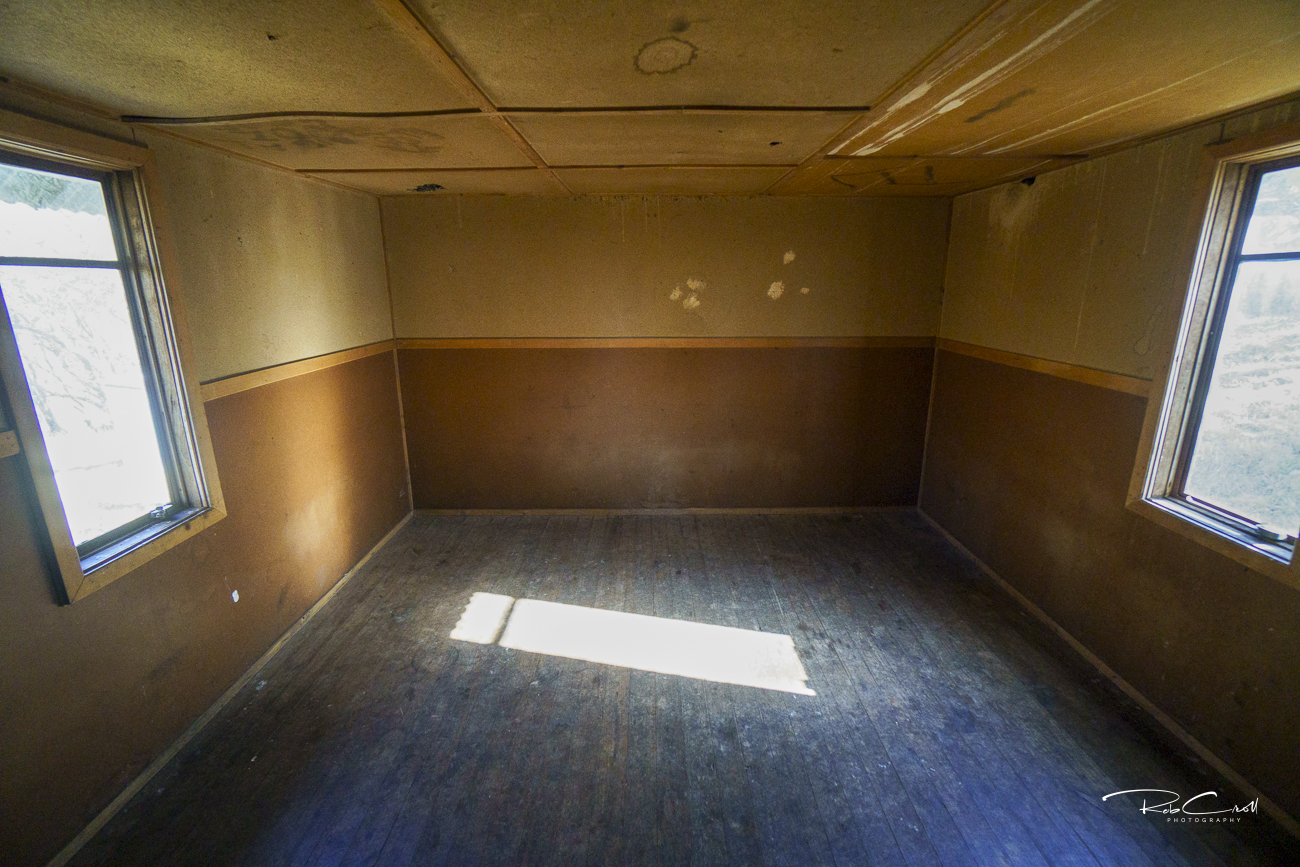
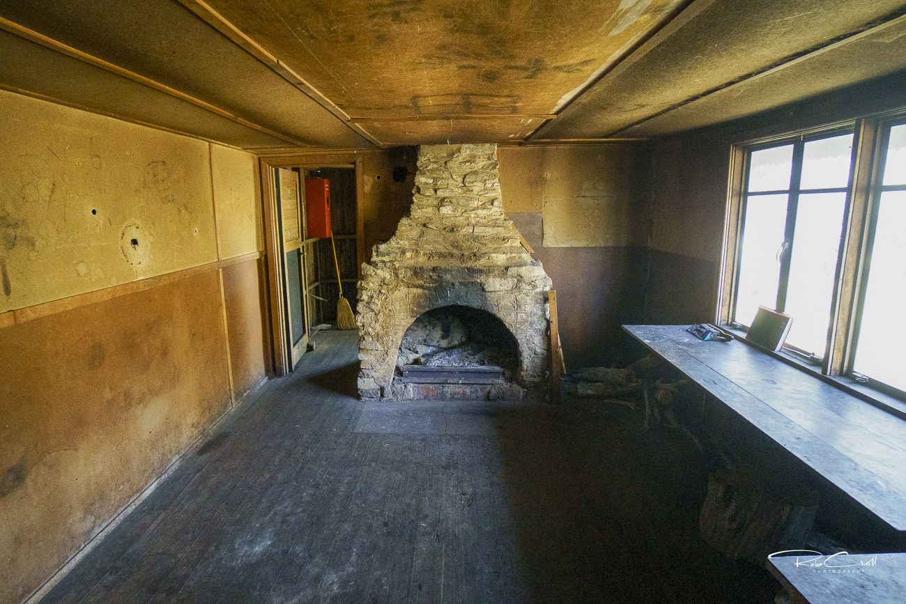
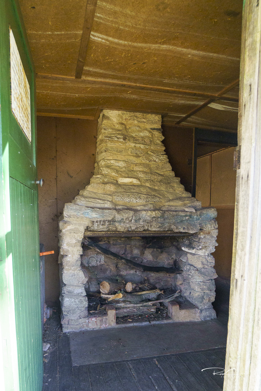
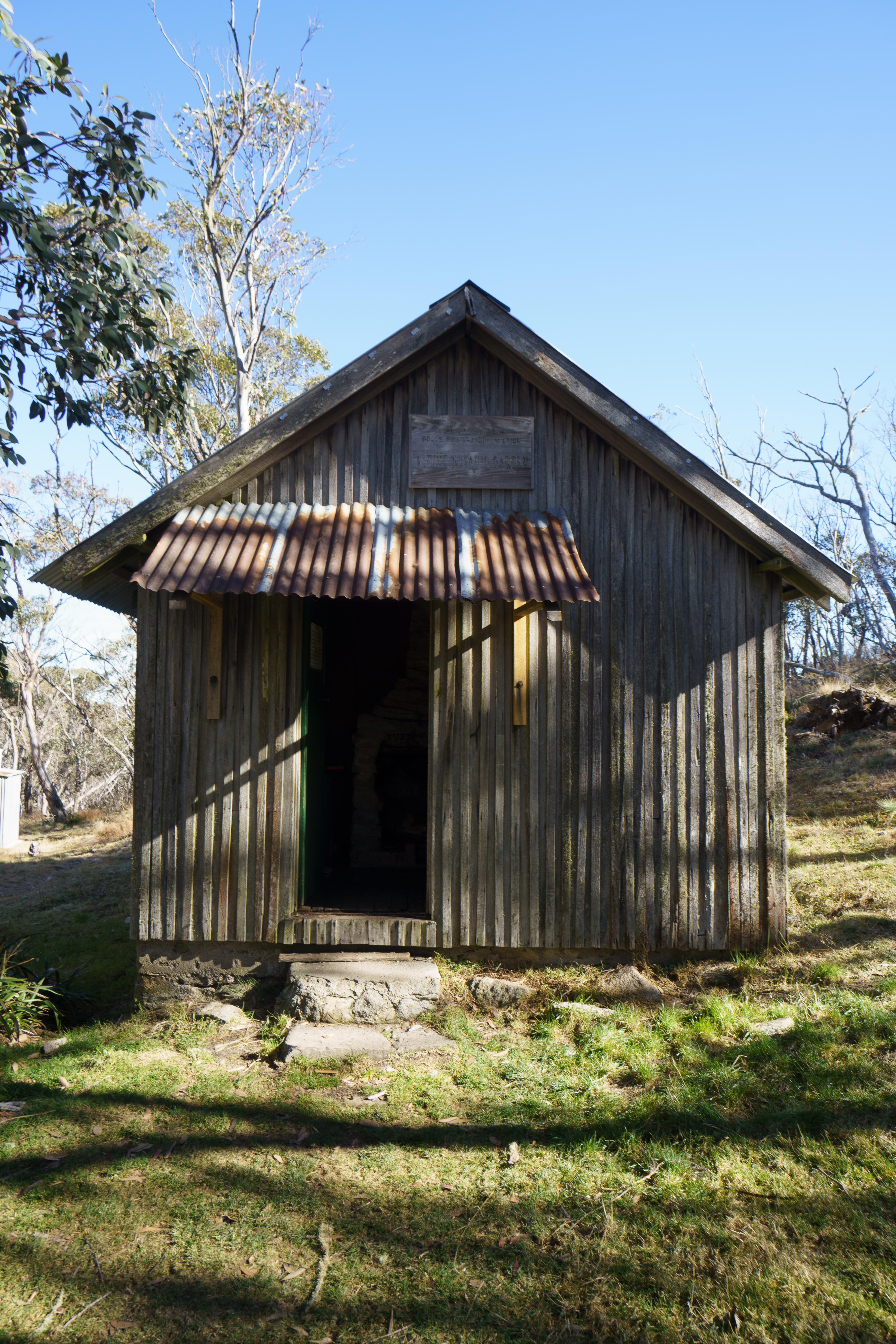
Pryors Hut consists of three rooms: an ante-room, living room, and rear bedroom. It is built of sawn timber set vertically, with substantial stone footings, a timber floor, and a corrugated iron roof and porch. A single chimney serves the main rooms. An external toilet is located nearby.
The hut is well insulated and designed to withstand alpine conditions, including snow and blizzards. It has saved multiple parties from exposure over the decades.
Pryors Hut is listed on the ACT Heritage Register and the KHA Brindabella register as site 215. It is protected for its architectural integrity, botanical research legacy, and association with Professor Pryor — a key figure in Canberra’s landscape history.
The hut is monitored by ACT Parks and supported by KHA volunteers. Interpretive signage is recommended to highlight its botanical origins, alpine construction, and enduring role in regional research and recreation. Access is via the Stockyard Spur Track from Corin Dam.