Photos
Created by Copilot AI and may not be accurate. Awaiting review
| Built | 1930s (exact date uncertain) |
| Condition | ★★★★☆ (intact; dry and accessible) |
| Location | Alpine National Park, VIC – Pretty Valley Pondage near Falls Creek |
| Alternate Names | None recorded |
| 1930s | Constructed to support grazing and horse riding in Pretty Valley |
| 1950s–80s | Used by cattlemen and ski tourers; maintained by local volunteers |
| Present | Preserved as a heritage shelter; adjacent horse yards and campground |
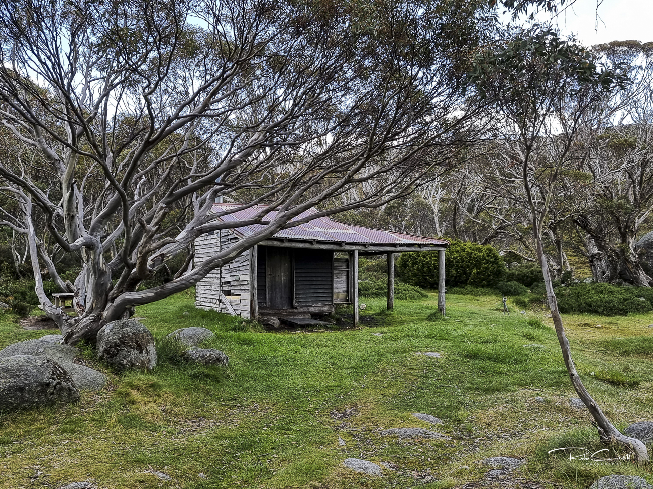
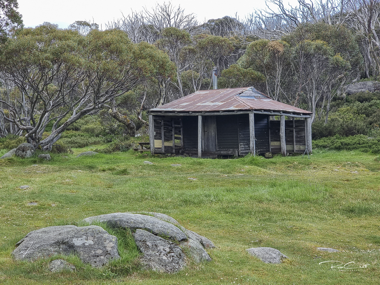
Pretty Valley Hut was built in the 1930s to support alpine grazing and horse riding in the Bogong High Plains. Located above Pretty Valley Pondage, the hut has long served as a shelter for cattlemen, ski tourers, and walkers traversing the plateau between Mt McKay and Mt Fainter.
Today, the hut is part of the [Pretty Valley Horse Yards and Camping Area](https://www.parks.vic.gov.au/places-to-see/sites/pretty-valley-horse-yards,-hut-and-camping-area). It remains dry, weatherproof, and accessible year-round, with adjacent horse yards and designated tent sites. The area is popular for multi-day treks and alpine loops from Falls Creek.
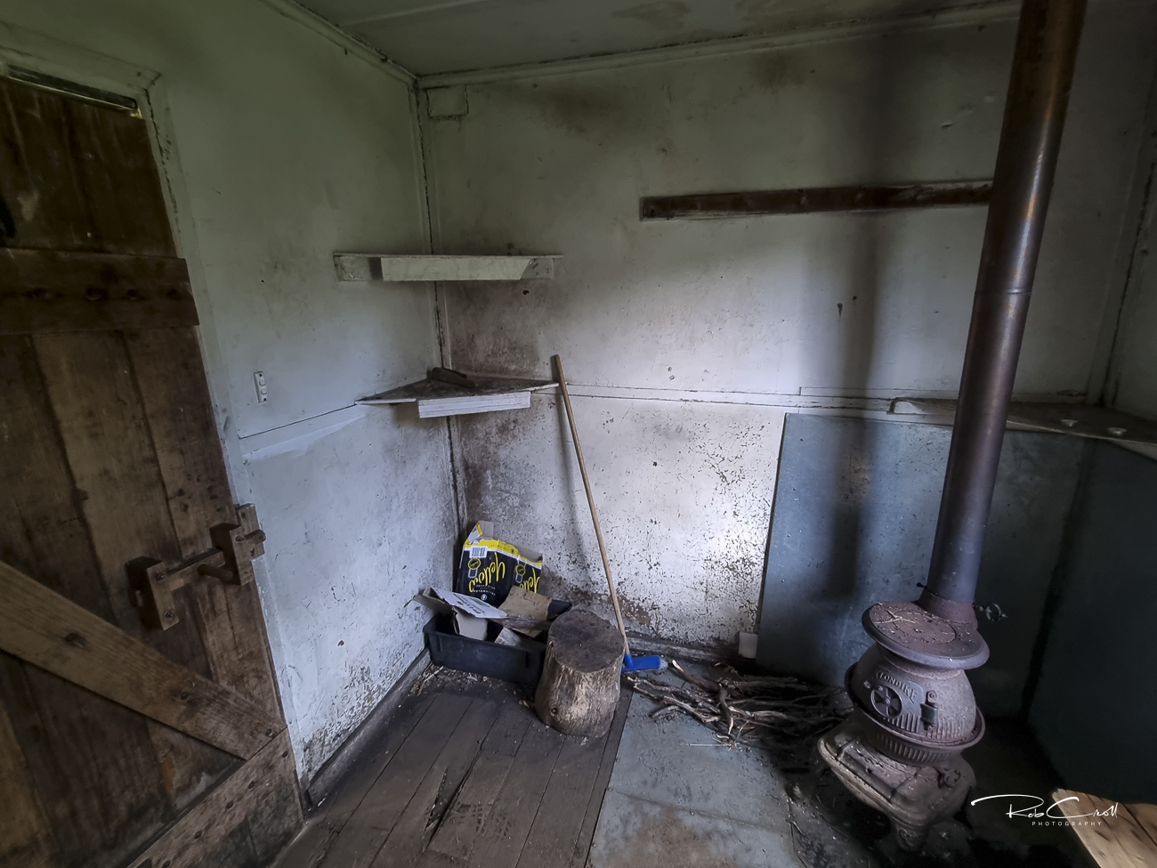
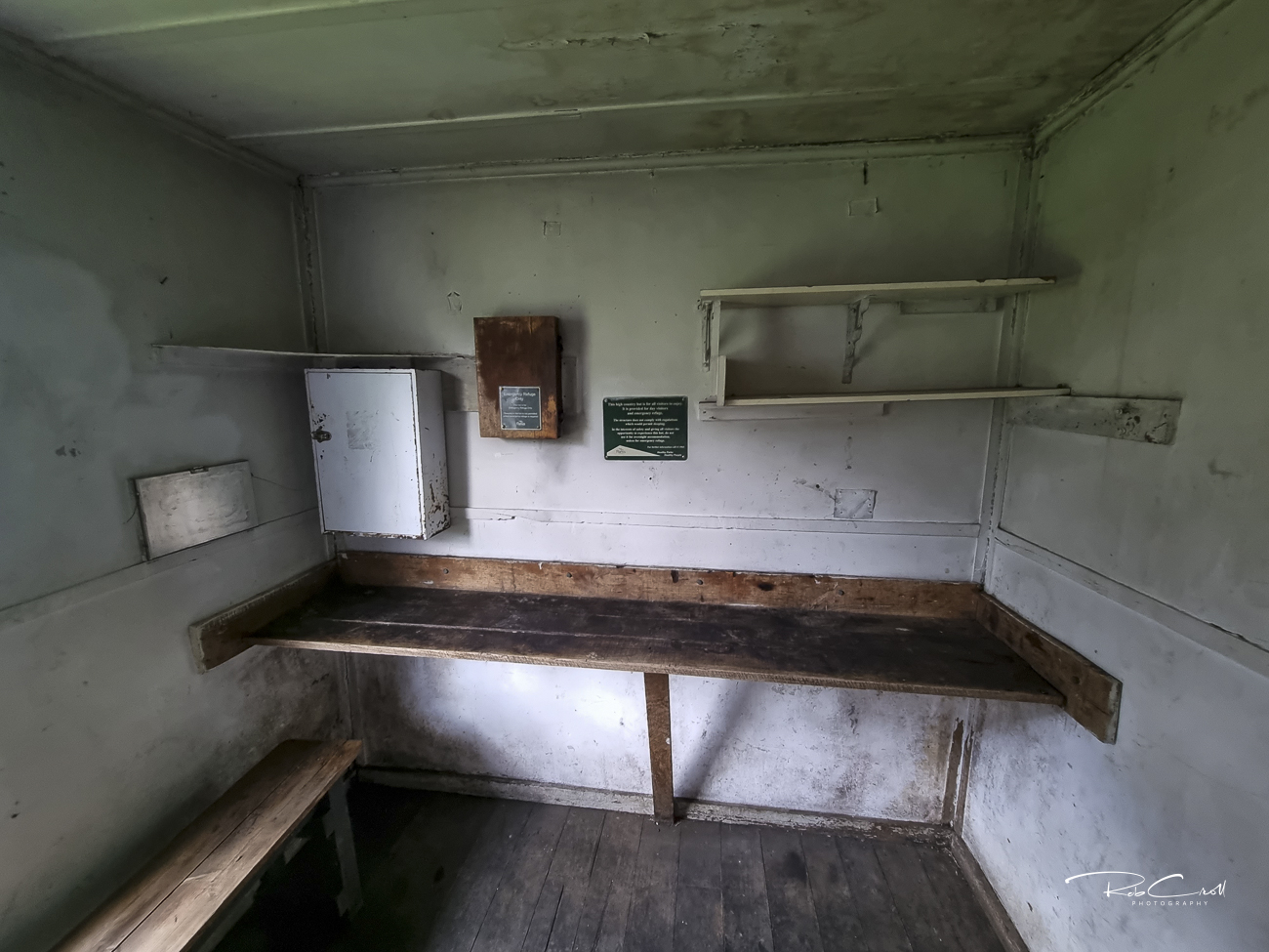
The hut is a timber-framed structure clad in corrugated iron, with a pitched roof, wooden floor, and stone fireplace. It includes basic furnishings and a small porch. The hut is dry and suitable for emergency shelter or day use.
A pit toilet is located nearby. Water may be available from seasonal creeks but should be treated before use.
Pretty Valley Hut is part of the Alpine National Park heritage network and is protected under Parks Victoria’s alpine hut conservation guidelines. It is regularly inspected and maintained by volunteers. Interpretive signage is recommended to highlight its grazing legacy and recreational role.
Visitors are encouraged to respect the hut’s emergency-only status and avoid overnight stays unless necessary. Access is via Pretty Valley Road from Falls Creek. Seasonal closures may apply due to snow or fire risk.