Photos
Created by Copilot AI and may not be accurate. Awaiting review
| Built | 1943–44 by Theo and Bill Miller |
| Condition | ★★★☆☆ (intact; rustic and remote) |
| Location | Long Plain, ~1 km south of Port Phillip Fire Trail |
| Alternate Names | Millers Hut |
| 1943–44 | Constructed in two days using second-hand materials |
| 1950s–80s | Used seasonally for grazing and bush shelter |
| 2000s–Present | Maintained by volunteers; increasingly visited |
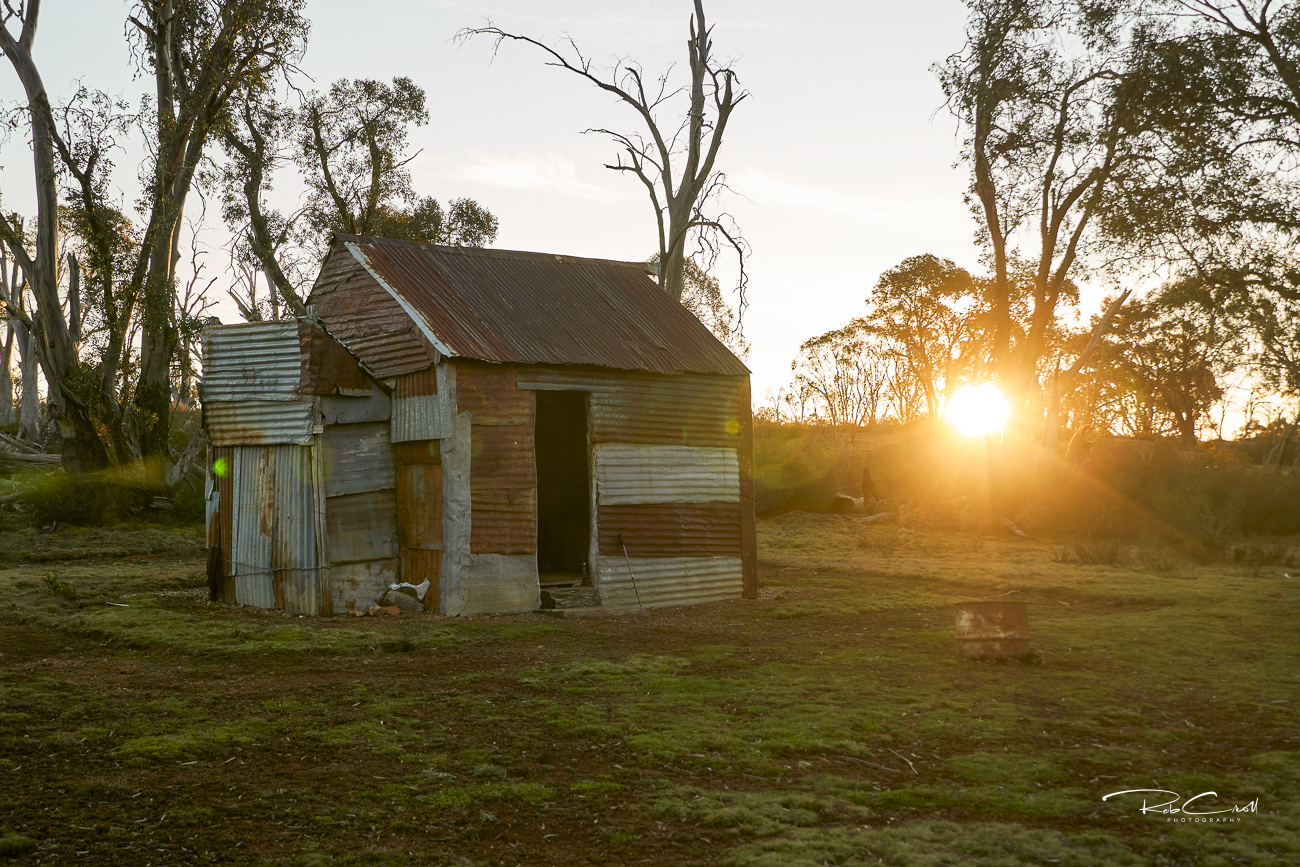
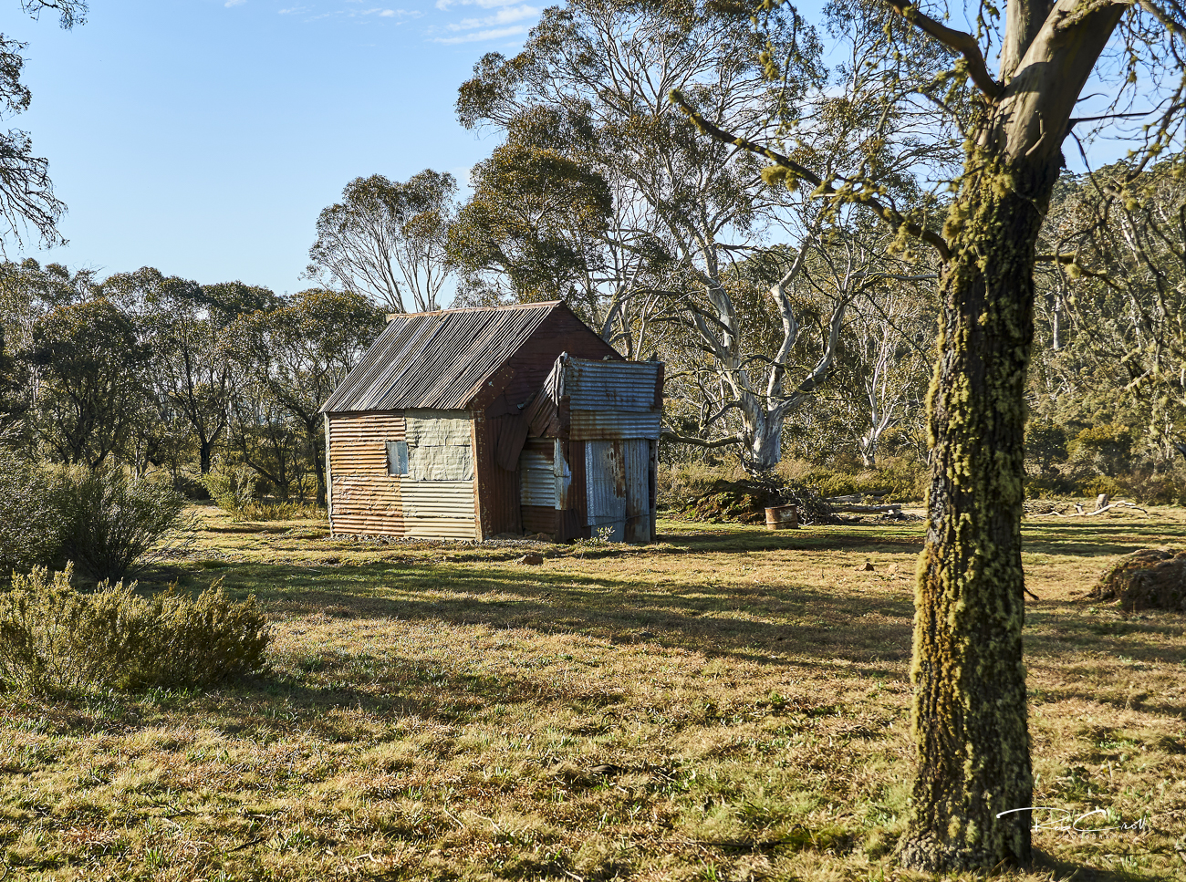
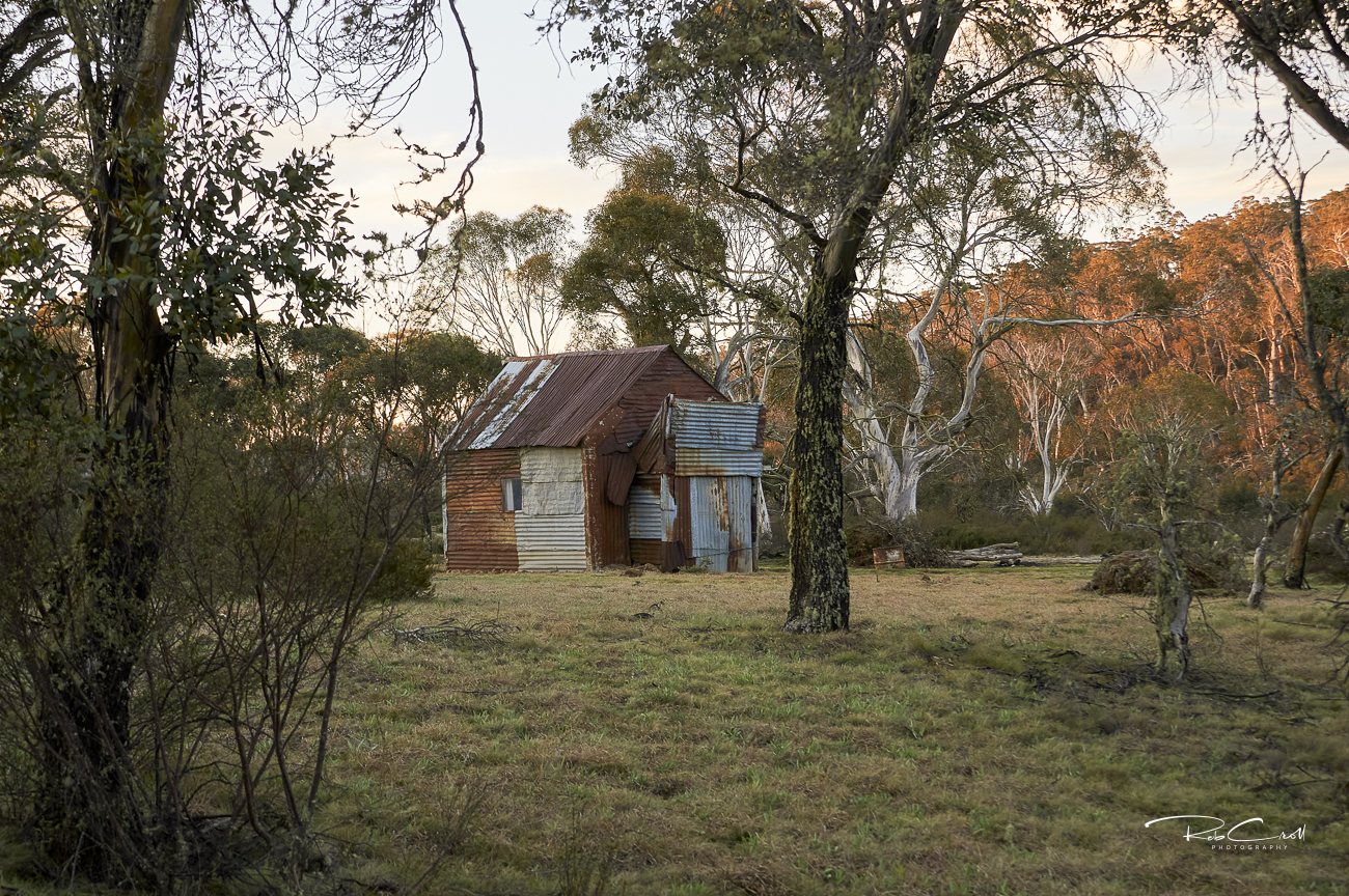
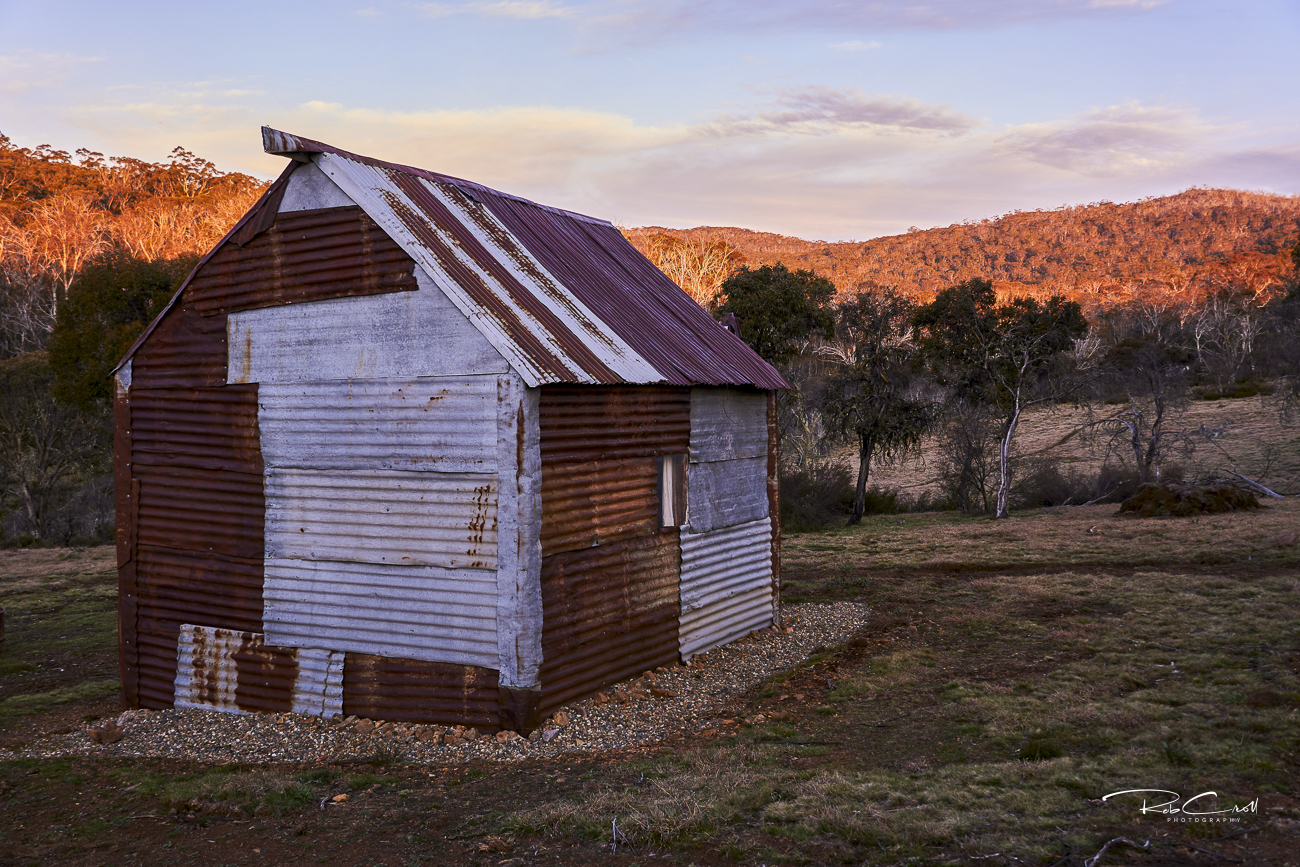
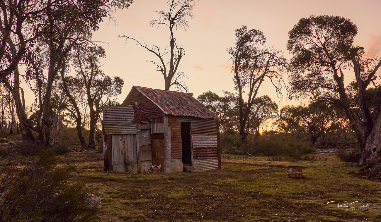
Miller’s Hut was built in 1943–44 by Theo and Bill Miller using salvaged materials, reportedly in just two days. Located on Long Plain, the hut was never marked on official maps and remains relatively unknown, offering solitude and shelter for those who find it.
The hut has served as a quiet refuge for graziers, bushwalkers, and even families caught in alpine storms. Its understated presence and remote setting make it a treasured part of Kosciuszko’s hut network.
Miller’s Hut is a single-room structure built with galvanised iron walls and roof, a wooden floor, and a rock hearth with an iron chimney. The hut is rustic but weatherproof, with no internal lining or insulation.
There is no toilet or water source nearby. Access is via a faint pad off the Port Phillip Fire Trail, following the creek uphill.
Miller’s Hut is listed in the KNP Plan of Management Schedule L.89 and holds KHA reference number 1206. A conservation study exists. The hut is not formally signposted and is maintained by volunteers including Pip Brown and friends.
The hut is informally cared for by KHA volunteers and local bushwalkers. Interpretive signage is recommended to highlight its rapid construction, survival stories, and understated role in alpine heritage.