Photos
| Built | Early 1900s (exact date unknown) |
| Condition | ★☆☆☆☆ (collapsed; chimney base remains) |
| Location | Beside Long Plain Road, near Cooinbil and Long Plain House |
| Alternate Names | Jemmets Hut, Jennets Hut |
| Early 1900s | Constructed by Tom Taylor and Bill Harris on a former mining site |
| Mid 1900s | Occupied by Bill Jemmett; used for grazing and residence |
| Late 20th century | Collapsed; only chimney base remains |
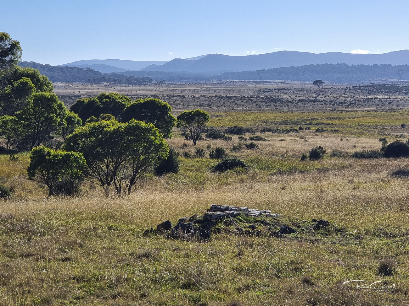
Jennetts Hut was built on a site previously used by gold miners, and later served as a residence and grazing base for Bill Jemmett. Located beside Long Plain Road, the hut stood between Long Plain House and Cooinbil, near the headwaters of the Murrumbidgee River.
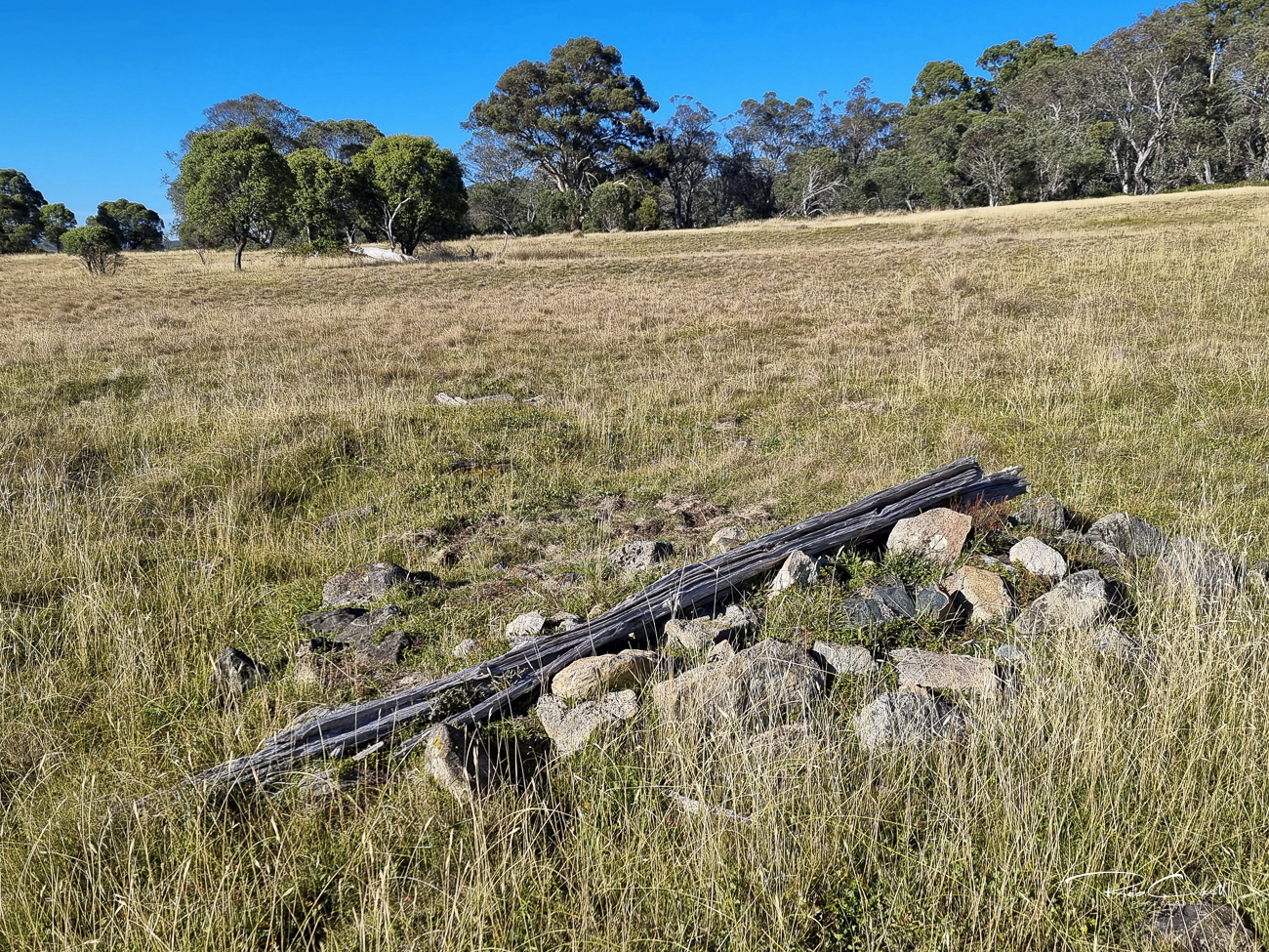
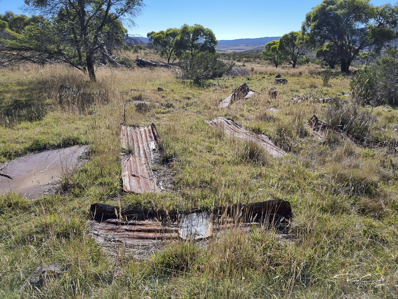
Though the structure has collapsed, the chimney base remains visible and marks the site’s historical significance. It is one of several lost huts in the Long Plain corridor that reflect the transition from mining to pastoral use.
Jennetts Hut was a medium-sized house constructed with weatherboards, a timber frame, and an iron roof. It featured an iron chimney and likely had a dirt or timber floor. No photographs of the intact structure are publicly available.
The site is marked by a surviving chimney base and scattered debris. No reconstruction is planned.
Jennetts Hut is listed in the KNP Plan of Management Schedule L.8 and holds KHA reference number 1204. It is considered a collapsed site with historical value. No formal Conservation Study exists, and the site is not under active stewardship.
The site is informally monitored by heritage walkers and KHA volunteers. Interpretive signage is recommended to highlight its mining and grazing history, and its connection to nearby huts such as Cooinbil and Long Plain House.