Photos
Created by Copilot AI and may not be accurate. Awaiting review
| Built | 1960s (exact year uncertain) |
| Condition | ★★★★☆ (intact; dry and accessible) |
| Location | Alpine National Park, VIC – Howqua Gap Saddle, between Mt Buller and Mt Stirling |
| Alternate Names | None recorded |
| 1960s | Constructed as a ski and bushwalking shelter near the Stirling–Buller saddle |
| 1990s–Present | Used by hikers, skiers, and 4WDers on the Buller Huts Trail |
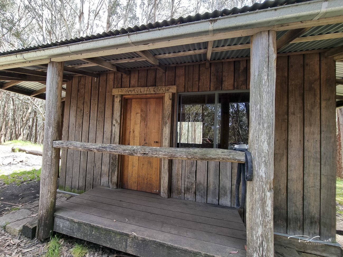
Howqua Gap Hut was built in the 1960s to provide shelter for bushwalkers and skiers traversing the saddle between Mt Stirling and Mt Buller. It sits at a strategic junction on the Buller Huts Trail, linking Bluff Hut, Lovicks Hut, and Craigs Hut to the north and west.
The hut is compact and functional, offering refuge in alpine conditions. It is accessible via 4WD tracks in summer and by ski or snowshoe in winter. The site is dry, weatherproof, and well-positioned for multi-day treks across the High Country.
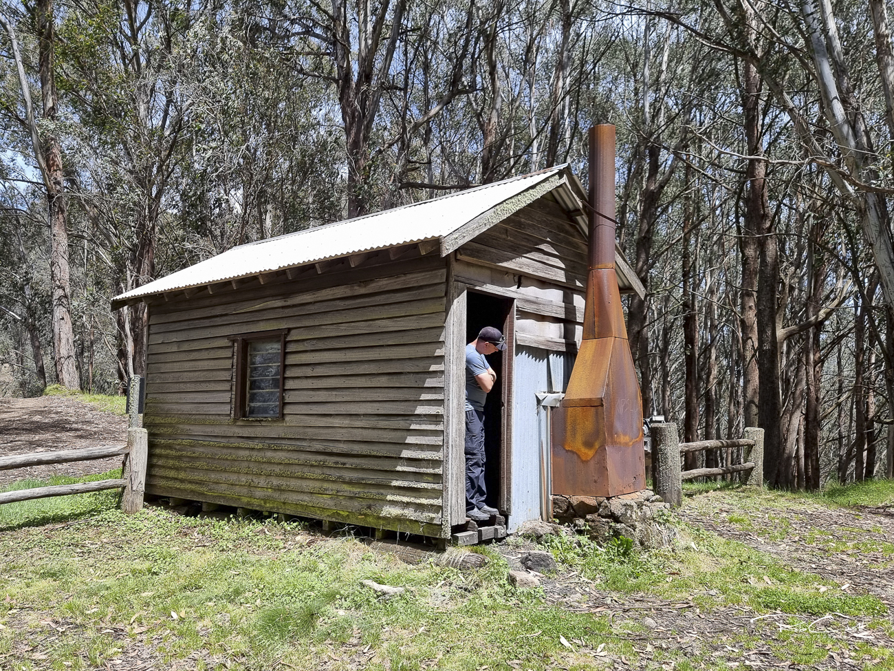
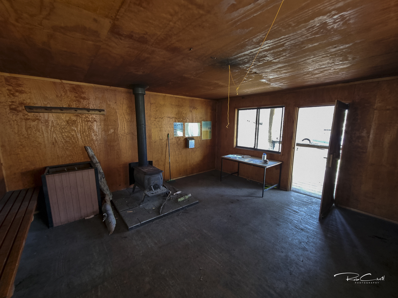
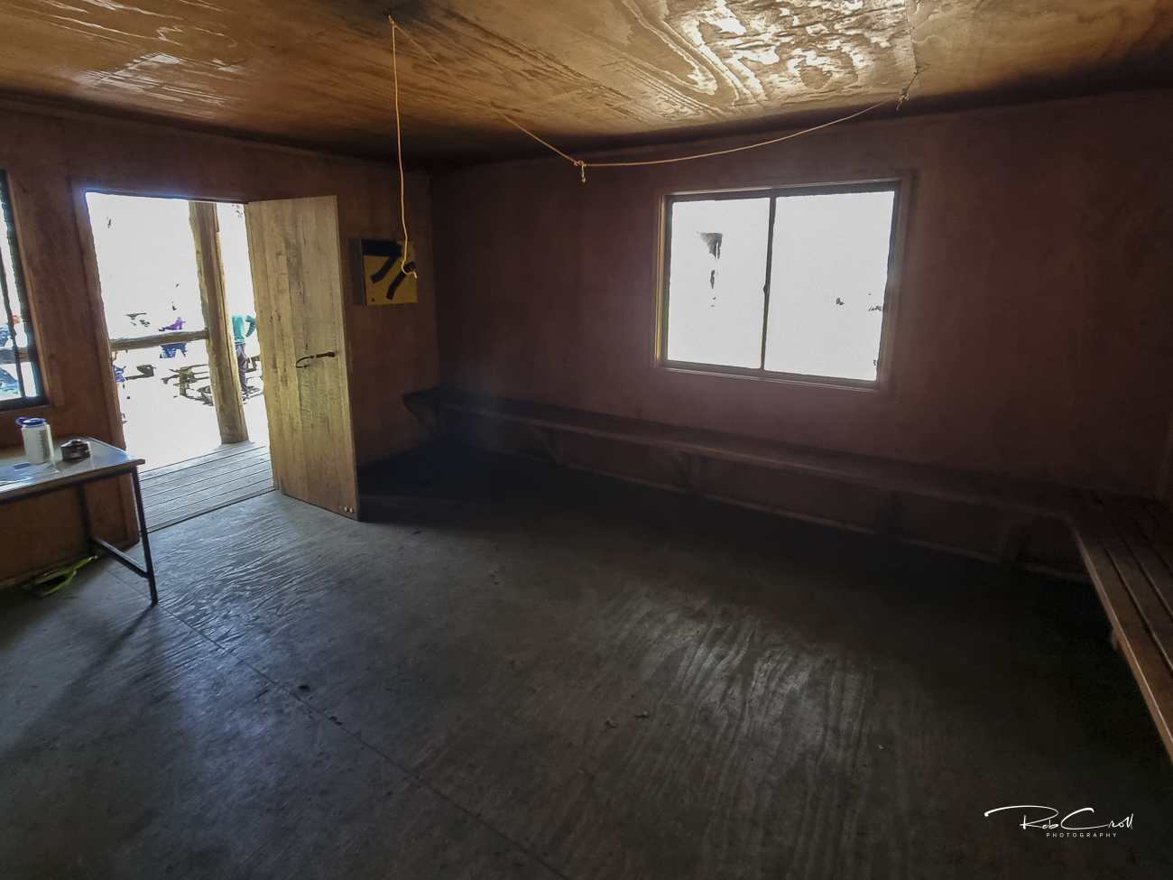
Howqua Gap Hut is a timber-framed structure clad in corrugated iron, with a pitched roof, wooden floor, and stone fireplace. It includes a small porch and basic internal furnishings. The hut is dry and suitable for emergency shelter or day use.
No toilet or water source is present at the hut itself. Nearby creeks may provide seasonal water, but treatment is recommended.
Howqua Gap Hut is part of the Alpine National Park heritage network and is protected under Parks Victoria’s alpine hut conservation guidelines. It is regularly inspected and maintained by volunteers and bushwalking groups. Interpretive signage is recommended to highlight its role in the Buller Huts Trail and alpine recreation.
Visitors are encouraged to respect the hut’s emergency-only status and avoid overnight stays unless necessary. The site is accessible via Howqua Gap Track from Mt Stirling or Mt Buller. Seasonal closures may apply due to snow or fire risk.