Photos
Created by Copilot AI and may not be accurate. Awaiting review
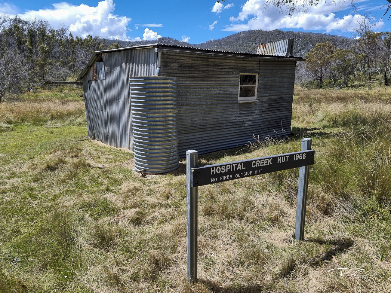
| Built | 1966 by Frank, Jack & Les Oldfield |
| Condition | ★★★☆☆ (intact; remote and spartan) |
| Location | Namadgi National Park, ~4.5 km from Yankee Hat carpark |
| Alternate Names | Franks Wartime Hut |
| 1966 | Constructed by the Oldfield brothers to support grazing |
| 1979 | Lease resumed for Gudgenby Nature Reserve |
| 1984 | Incorporated into Namadgi National Park |
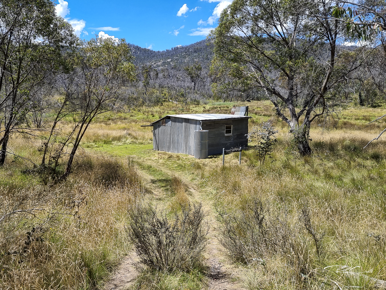
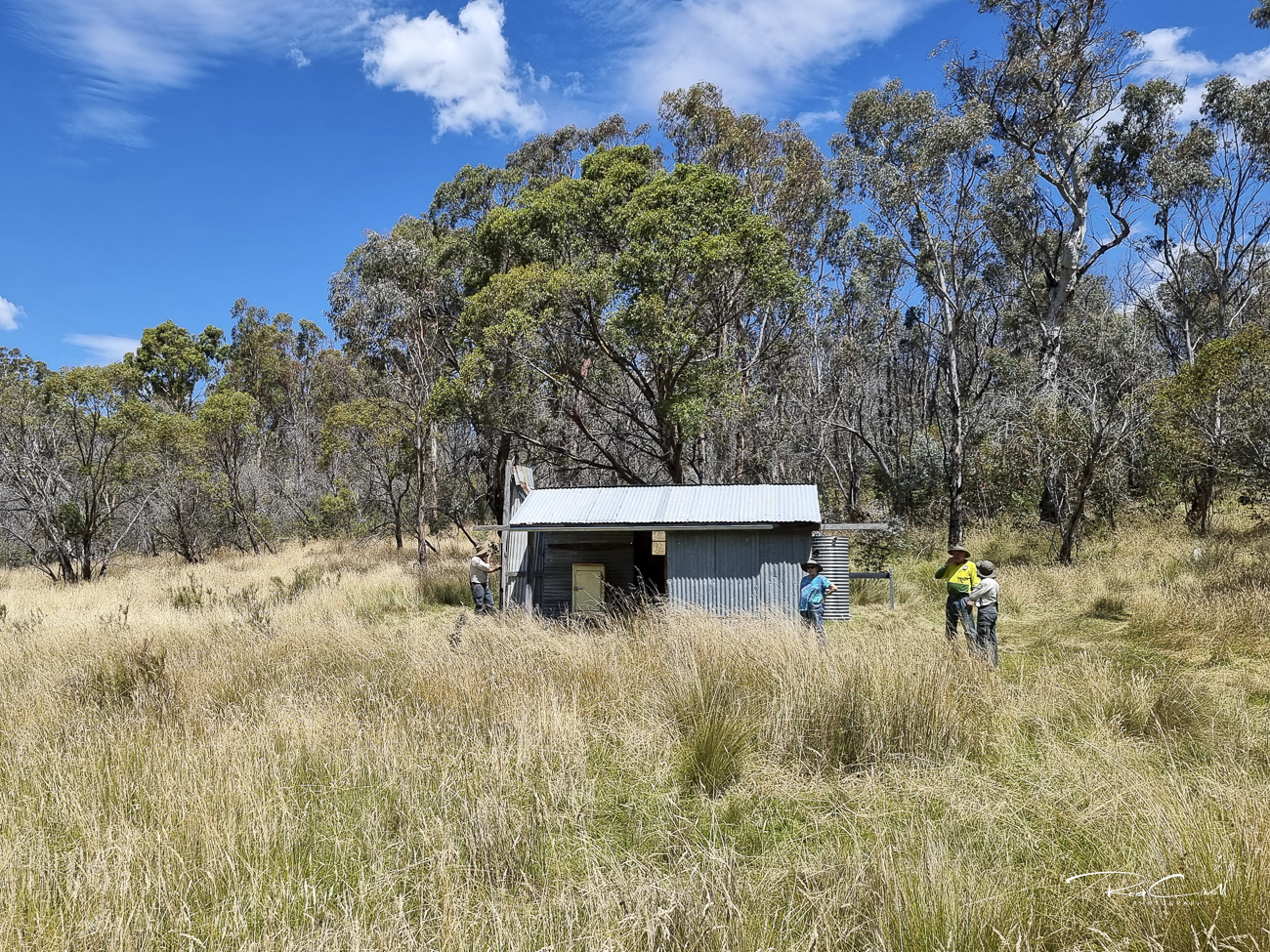
Hospital Creek Hut was built in 1966 by Frank, Jack, and Les Oldfield as part of the Dry Creek grazing lease. It replaced an earlier hut lost to pine plantation development. The hut is basic and spartan, but sits in a serene valley near Hospital Hill, surrounded by open grasslands and prolific birdlife.
The site was resumed in 1979 and later incorporated into Namadgi National Park. It remains a quiet waypoint for walkers and is part of the Settlers Track precinct, though less visited than Brayshaws or Westermans.
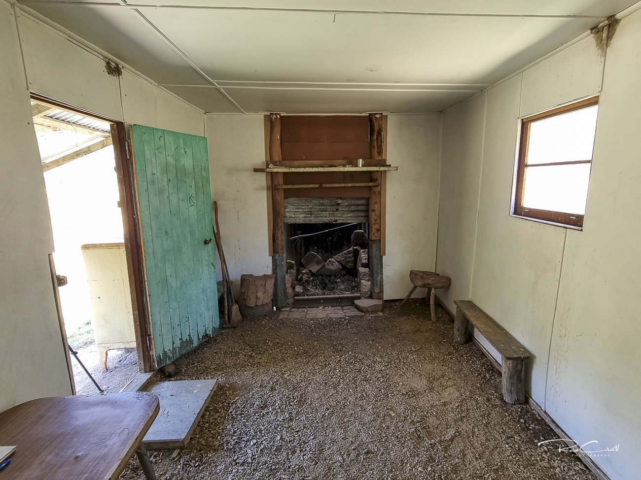
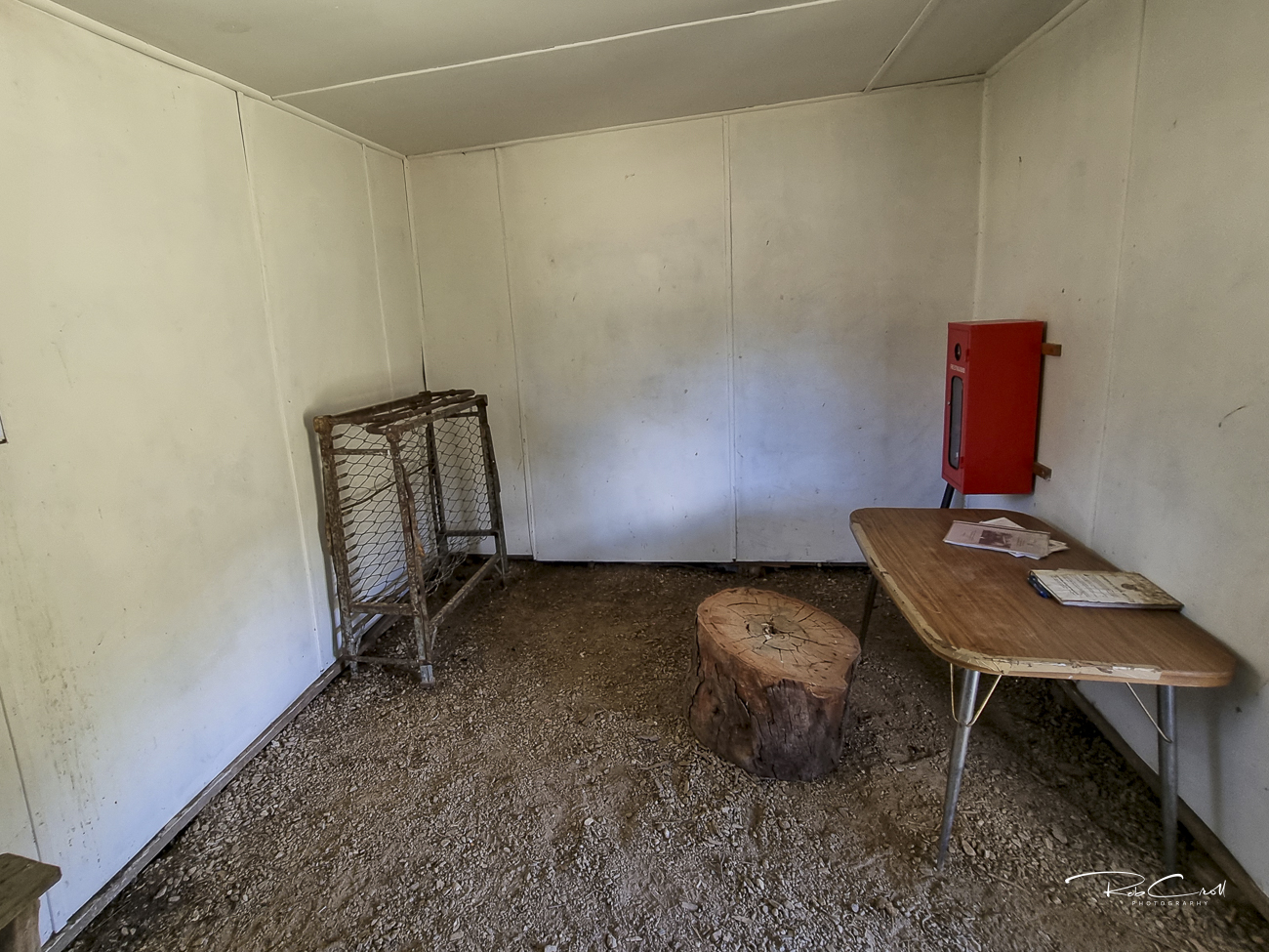
The hut is built from bush poles and second-hand sawn timber, clad in corrugated iron. It features a dirt floor stabilized with cement, a simple iron chimney, and no internal lining. The structure is weatherproof but rustic.
No toilet or water source is present. The track is overgrown and indistinct, requiring careful navigation from Old Boboyan Road.
Hospital Creek Hut is listed in the KHA Namadgi register as site 1707. It is monitored by ACT Parks and KHA volunteers. The site is valued for its grazing heritage and remote character, though access is limited and signage is minimal.
The hut is informally maintained and accessible via a faint track from Old Boboyan Road. Interpretive signage is recommended to highlight its construction story, grazing legacy, and quiet presence in the valley. Visitors should log their walk at the Yankee Hat trailhead and be prepared for uneven terrain.