Photos
| Built | 1950s (reconstructed 2016) |
| Condition | ★★★★☆ (excellent; rebuilt and maintained) |
| Location | Munyang Corridor, off Schlink Trail |
| Alternate Names | Surveyors Hut |
| 1950s | Built by SMA for surveying; possibly modified from earlier hut |
| 1960s–90s | Used by bushwalkers and ski tourers; roof loft added |
| 2002 | Pump-out toilet installed by NPWS |
| 2016 | Full reconstruction; original red door retained |
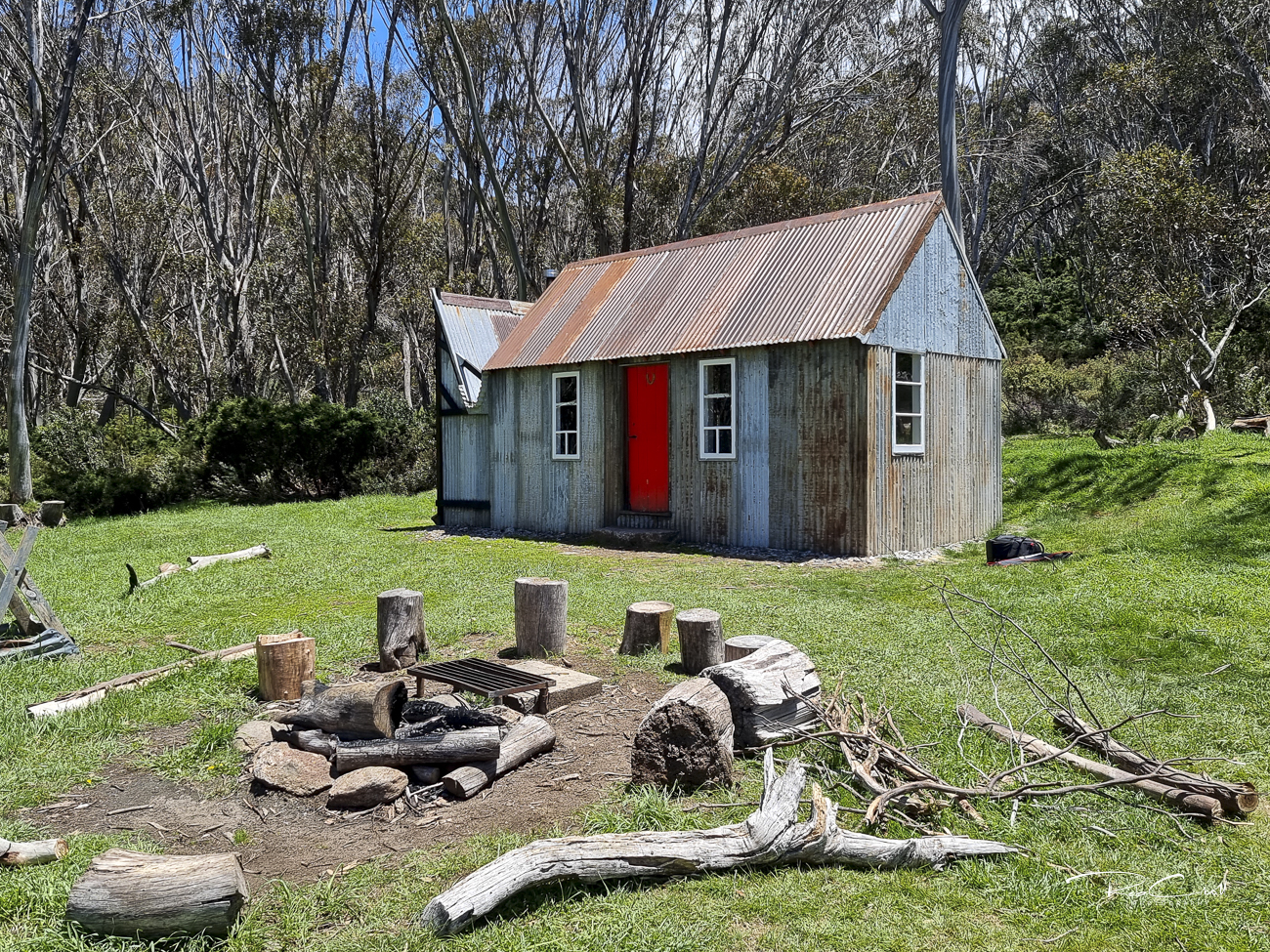
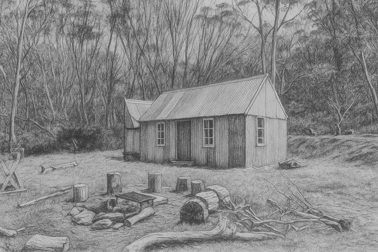
Horse Camp Hut was built in the 1950s by the Snowy Mountains Authority for surveyors working in the Munyang Corridor. Its name derives from the paddock where surveyors kept their horses. Oral accounts suggest the SMA may have modified an earlier hut, with construction details pointing to local craftsmanship and pre-WWII materials.
The hut became a popular waypoint for bushwalkers and ski tourers, with a loft added for sleeping. It was fully rebuilt in 2016, preserving its distinctive red door and alpine character.
The hut measures 7.5 × 3.5m and includes two rooms. It features corrugated iron walls and roof, a wood and dirt floor, and a steeply pitched roof with a loft. One room contains a stove (now missing), and the other has a hearth with an iron-clad flue. Multi-paned windows and a large chimney span the hut’s width.
A small iron lean-to serves as wood storage. A pump-out toilet was installed in 2002 and remains in use.
Stewardship is shared between NPWS and KHA volunteers. The hut is actively maintained and monitored. Interpretive signage is recommended to highlight its surveying origins and role in the Munyang Corridor network.