Photos
Created by Copilot AI and may not be accurate. Awaiting review
| Built | 1929 by the Ski Club of Victoria |
| Condition | ★★★★☆ (intact; emergency use only) |
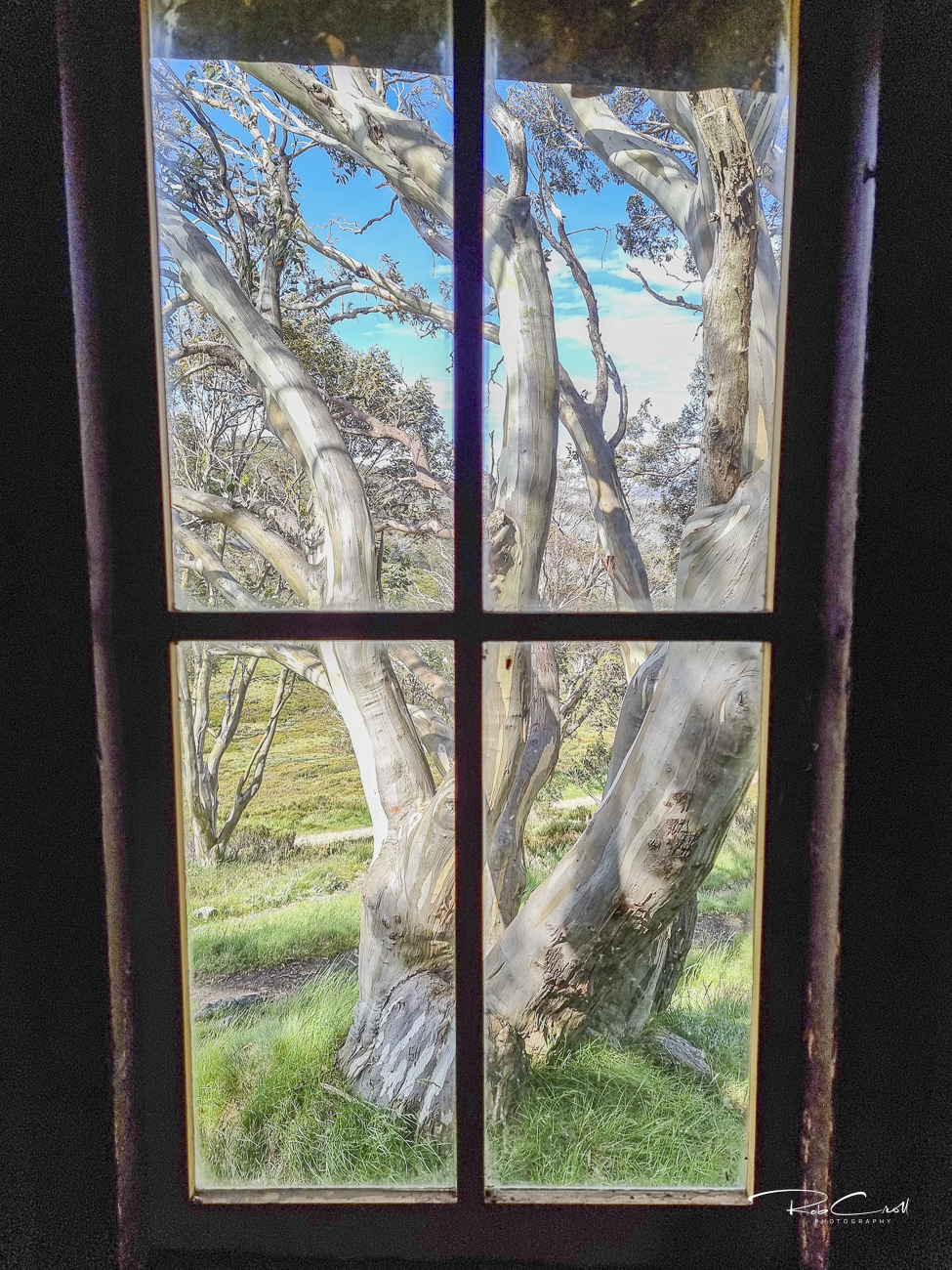
| Location | Alpine National Park, VIC – Bogong High Plains near Falls Creek |
| Alternate Names | None recorded |
| 1929 | Constructed by the Ski Club of Victoria as a winter refuge |
| 1930s–50s | Used by ski tourers and bushwalkers; maintained by volunteers |
| Present | Preserved for emergency shelter; camping platforms nearby |
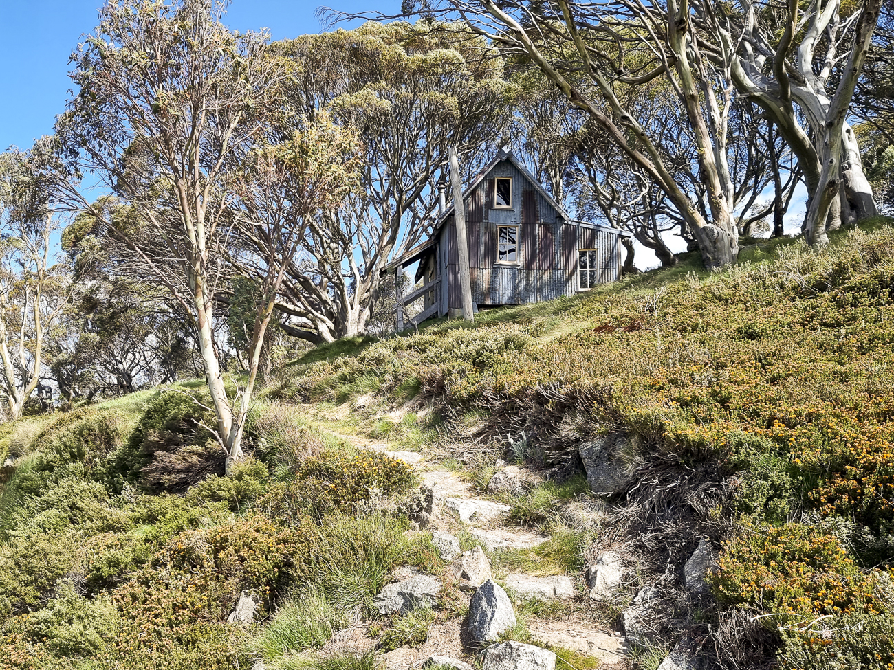
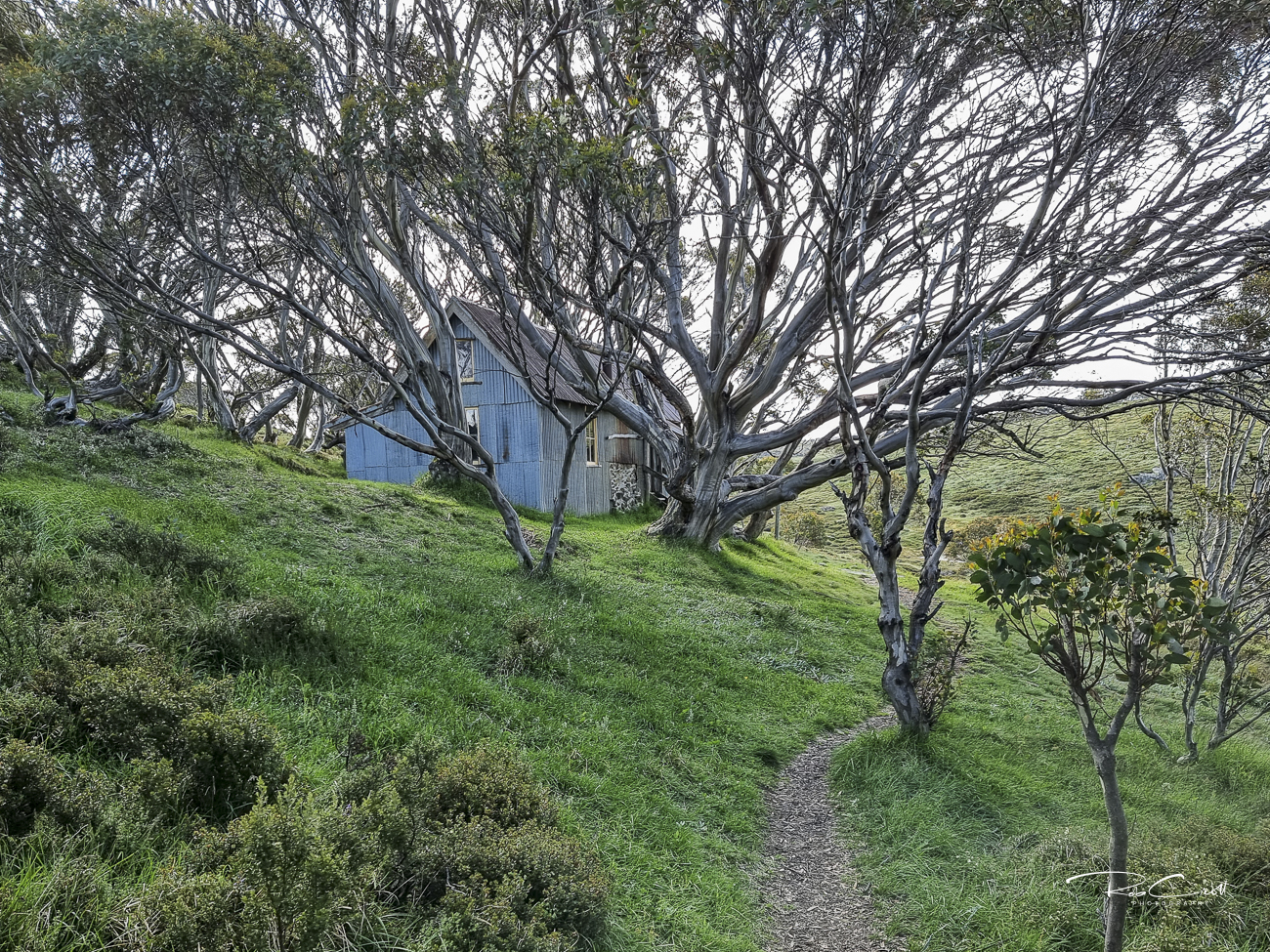
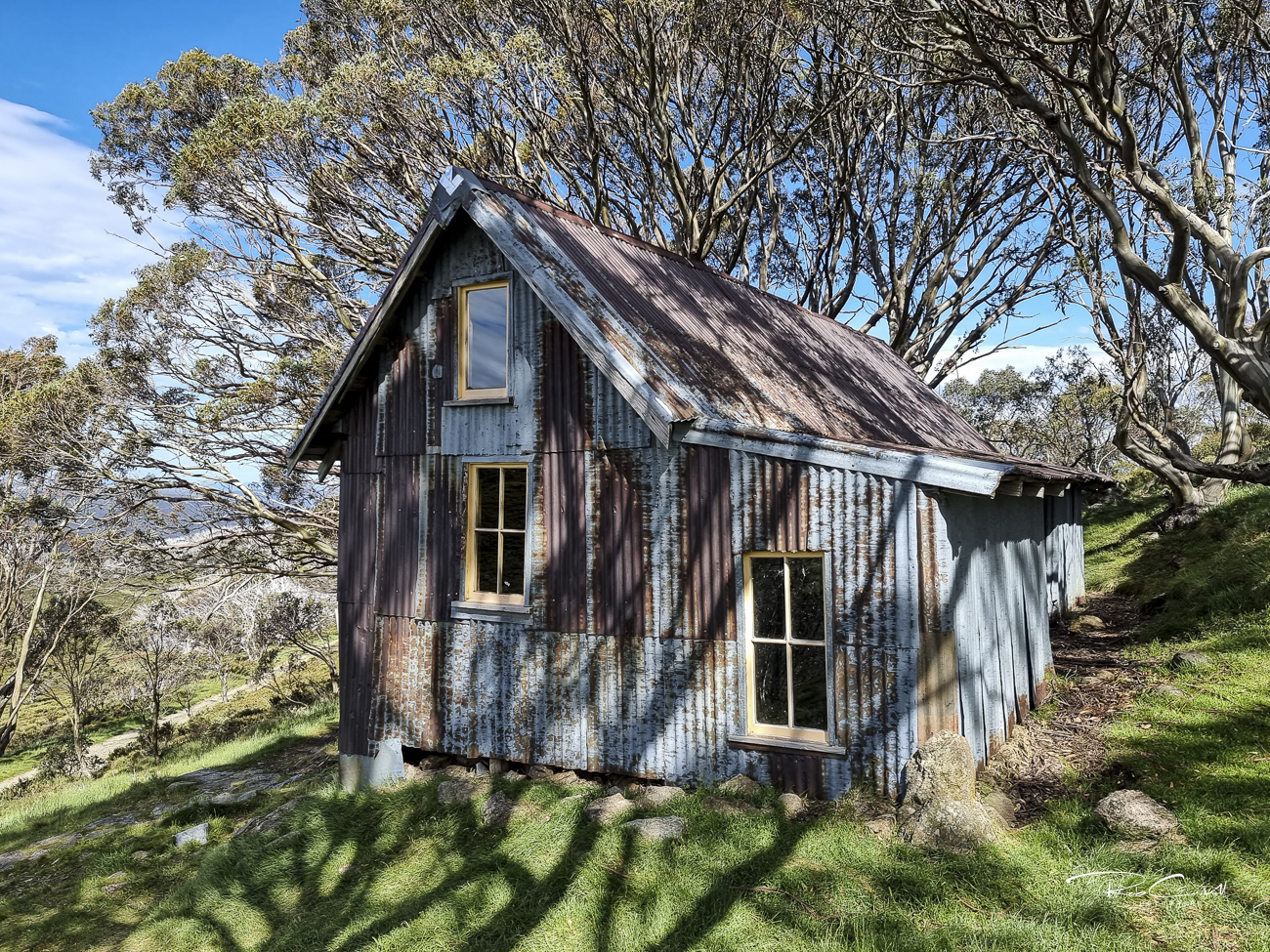
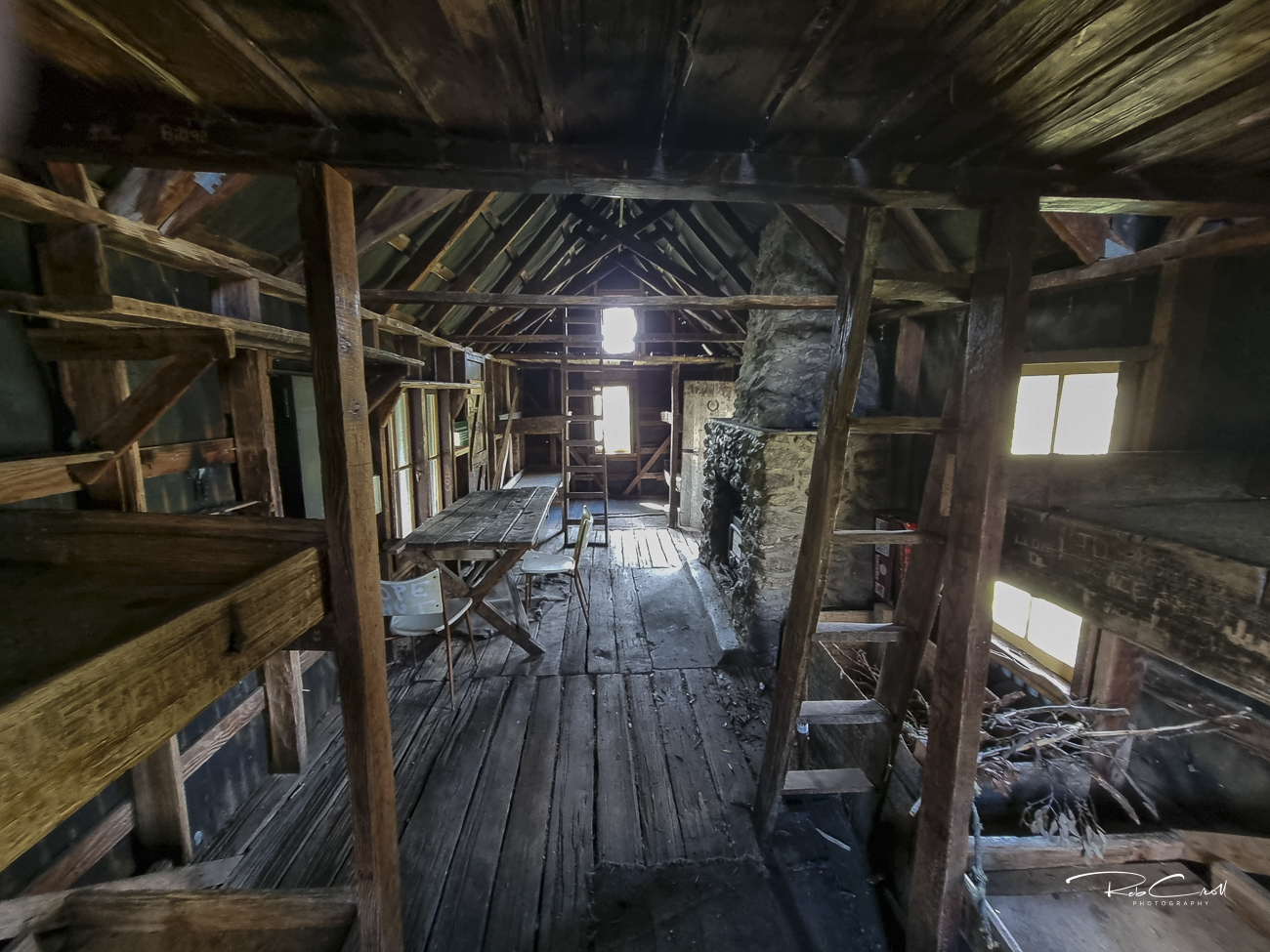
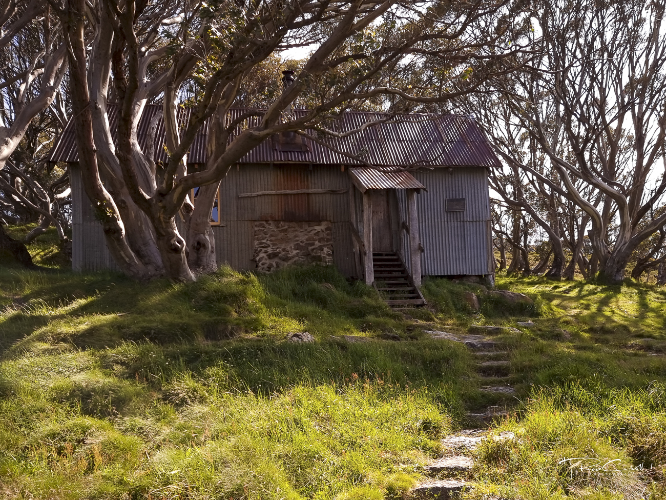
Cope Hut was built in 1929 by the Ski Club of Victoria to support ski touring across the Bogong High Plains. At the time, it was considered luxurious compared to other alpine shelters, earning the nickname “The Menzies of the High Plains.” It provided refuge for skiers and walkers traversing the snow-covered plateau between Mt Cope and Mt Nelse.
Today, Cope Hut is preserved as an emergency shelter only. Visitors are encouraged to camp nearby on designated platforms or grassy snowgum flats. The hut is easily accessed via a short walk from the Great Alpine Road and forms part of the Wallace’s Heritage Trail.
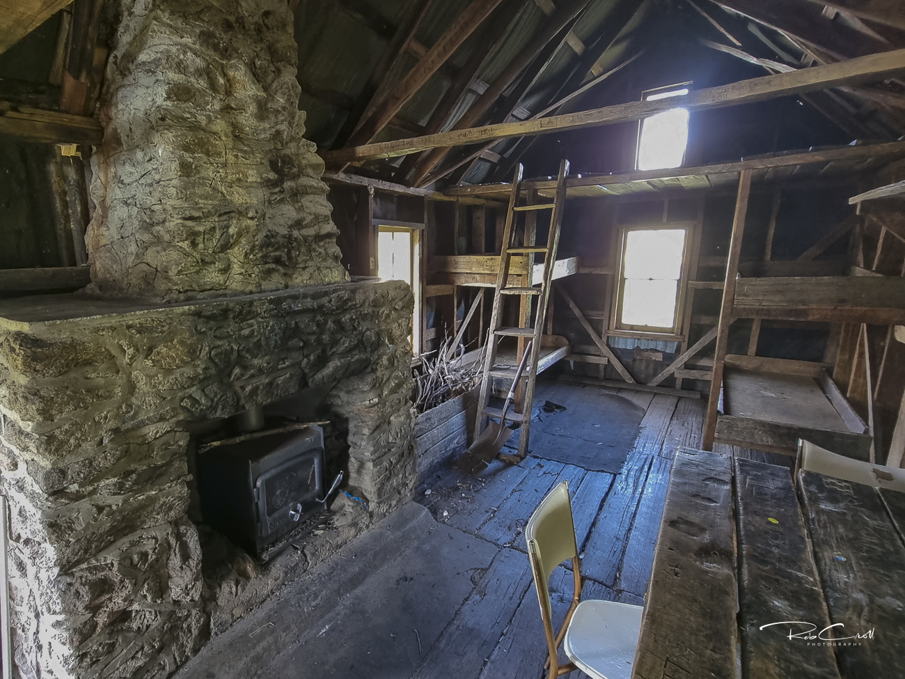
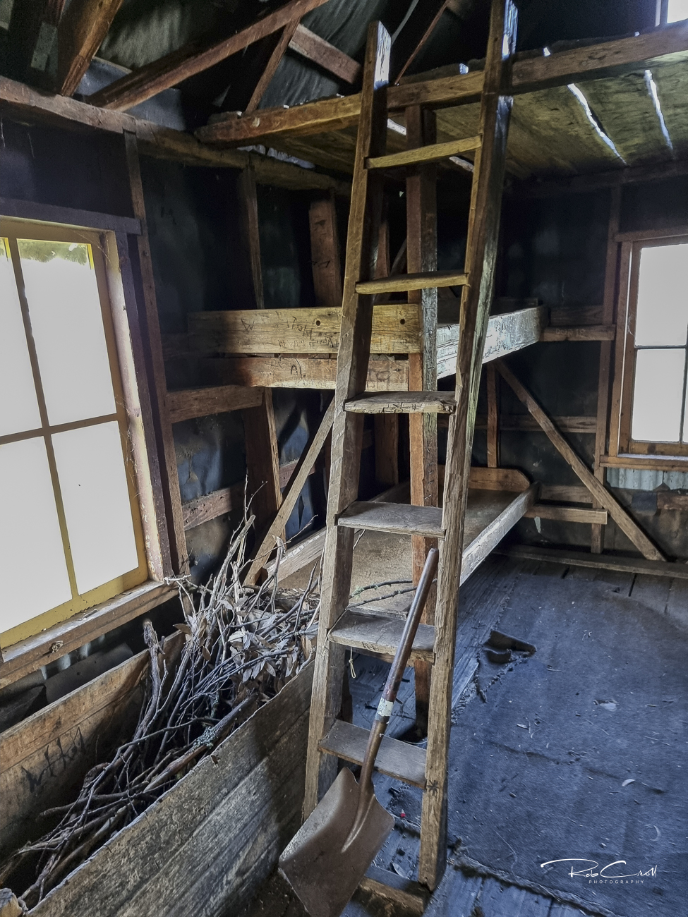
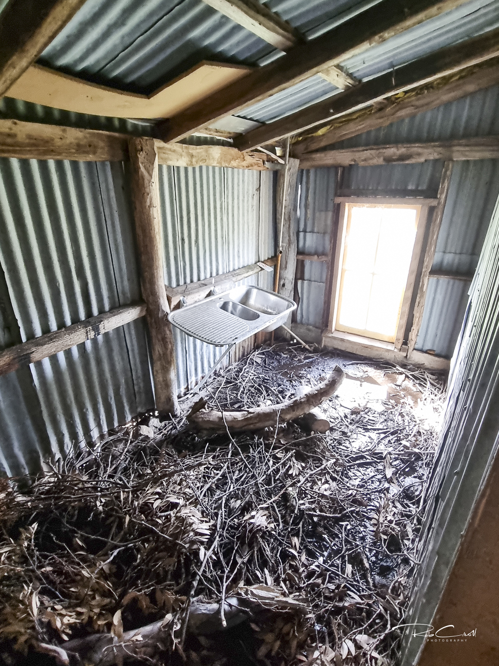
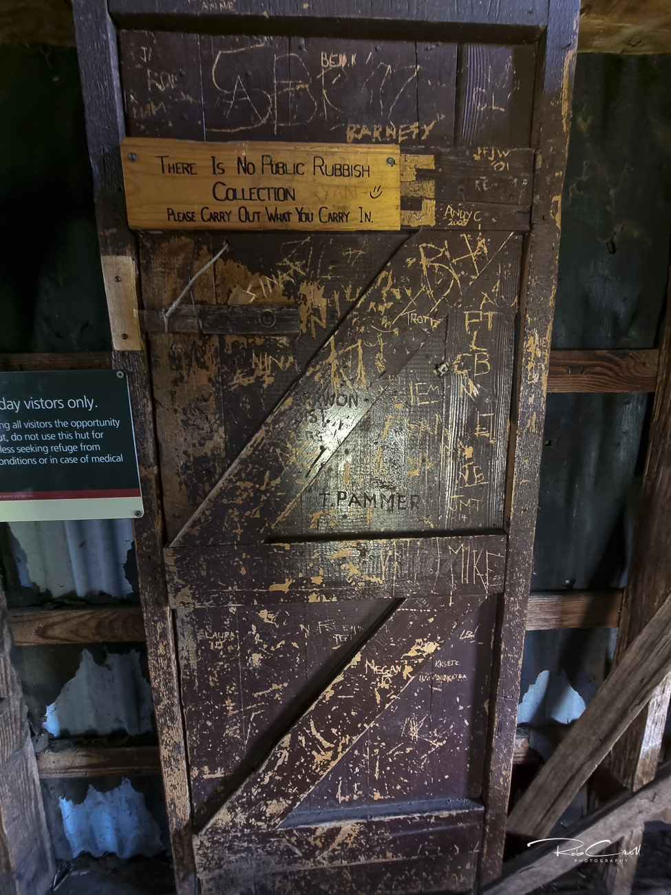
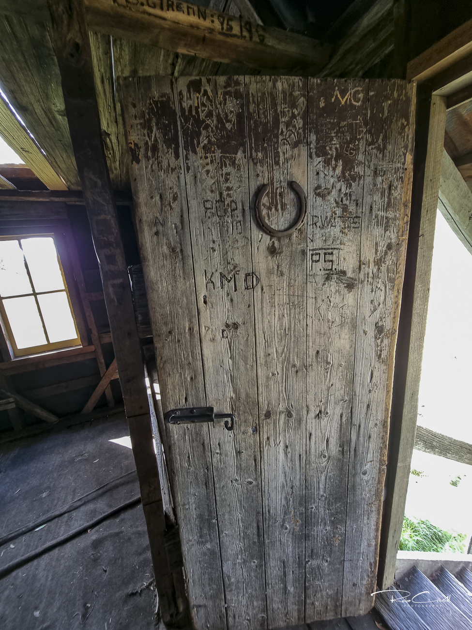
Cope Hut is a timber-framed structure clad in corrugated iron, with a pitched roof, wooden floor, and stone fireplace. It includes a small porch and basic internal furnishings. The hut is dry and weatherproof, but not intended for overnight stays except in emergencies.
A pit toilet is located nearby. Water may be available from seasonal creeks but should be treated before use.
Cope Hut is managed by Parks Victoria and forms part of the Australian Alps National Parks Co-operative Management Program. It is protected for its historical significance as one of the earliest ski touring shelters in the Victorian Alps. Interpretive signage is present, and the site is regularly inspected.
The hut is maintained by Parks Victoria and supported by alpine volunteers. Visitors are asked to respect its emergency-only status and use nearby camping platforms. Interpretive signage highlights its ski heritage and architectural features. Access is via a short 400m walk from the Cope Hut carpark on the Great Alpine Road.